Trail Overview and Safety
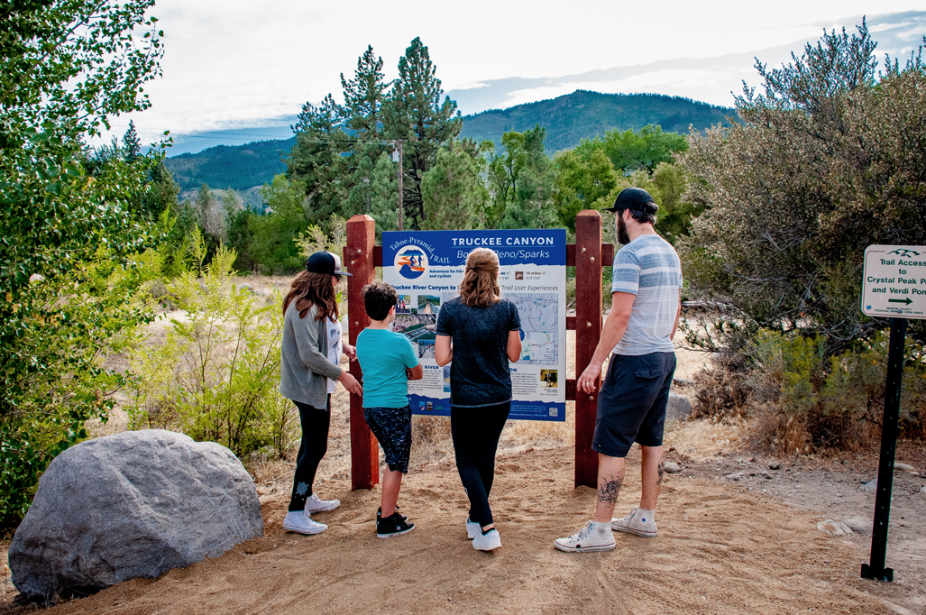
There are five sections of the Tahoe-Pyramid Trail currently open to hiking and cycling. Each of these trail sections have detailed “section” information on the individual Trail Section pages that are accessed via this website’s top navigation or the Quick Links listed below.
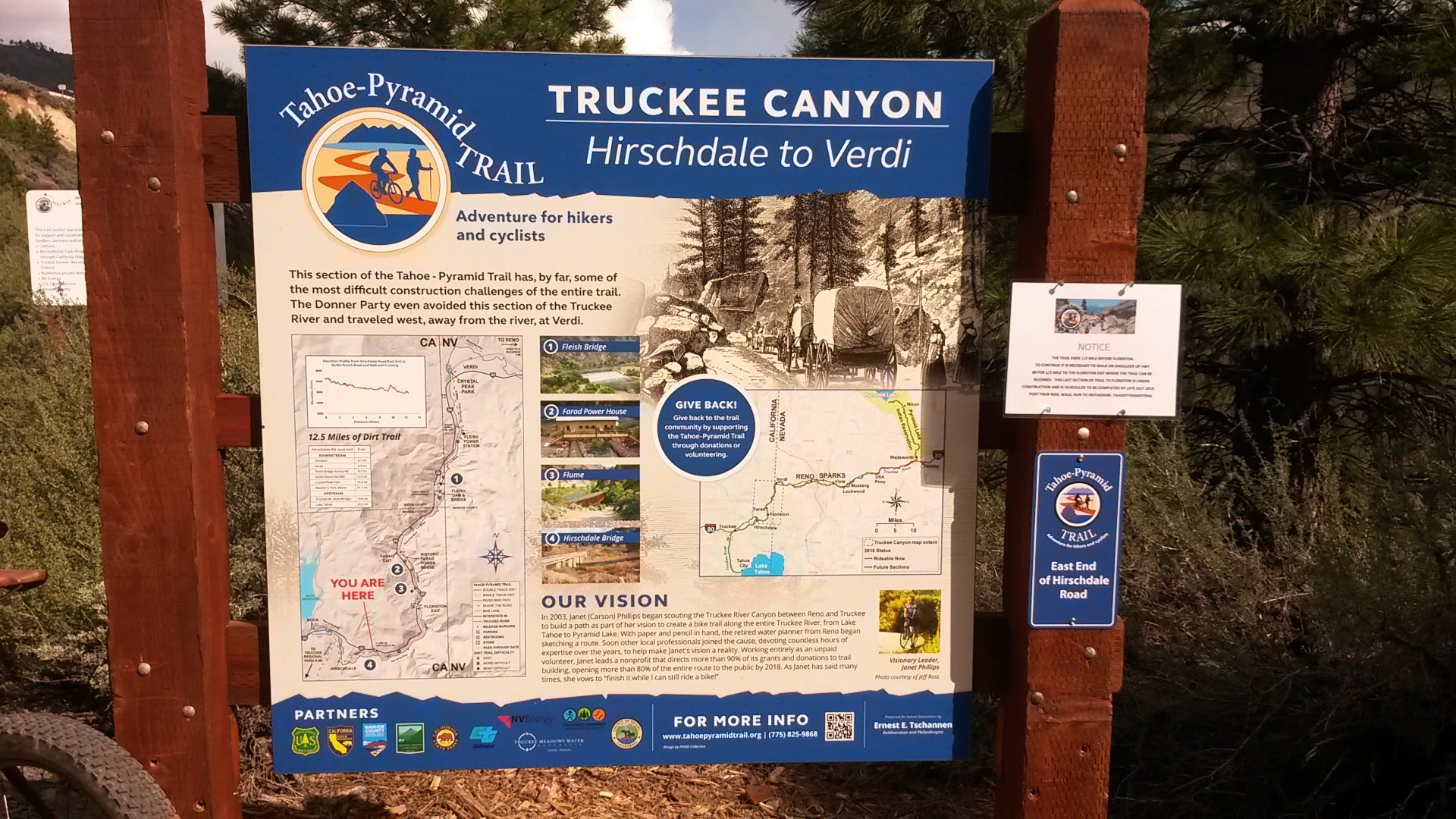
Each of the Trail Section pages includes a variety of section maps including a detailed Google map, detailed PDFs with icons for trail surface and difficulty ratings (designed to help trail users select trail sections most appropriate to their ability and interests). Additionally, you will find photos for each trail section on their respective Trail Section pages.
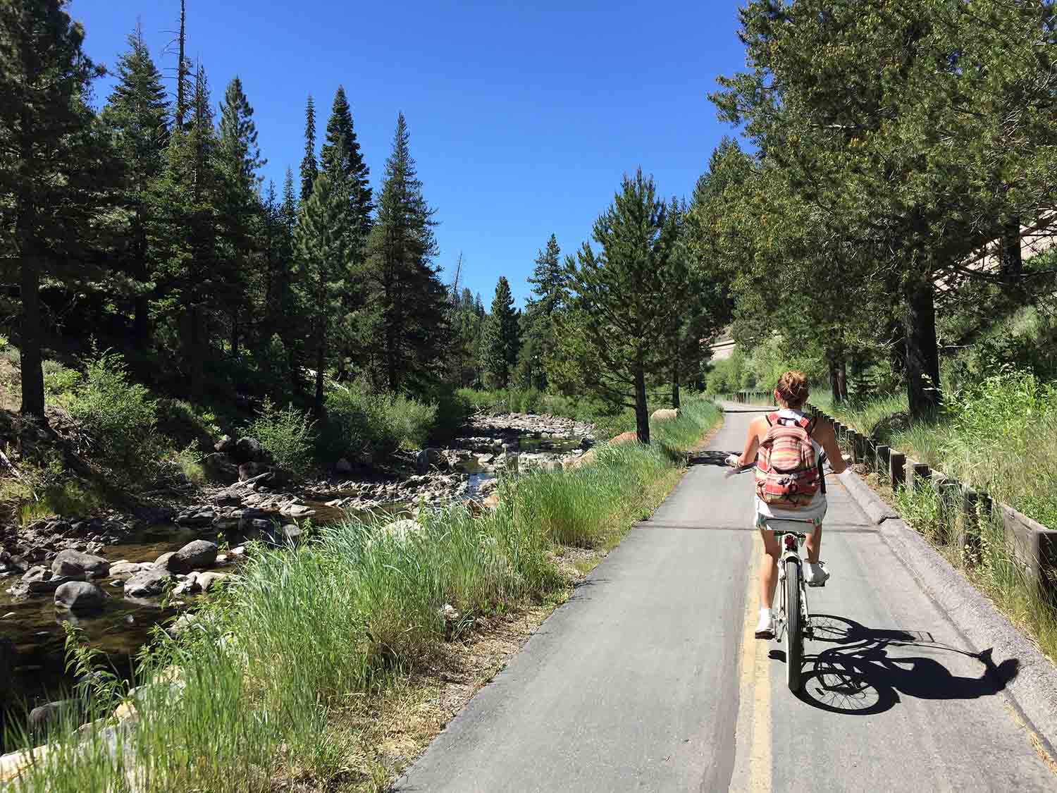
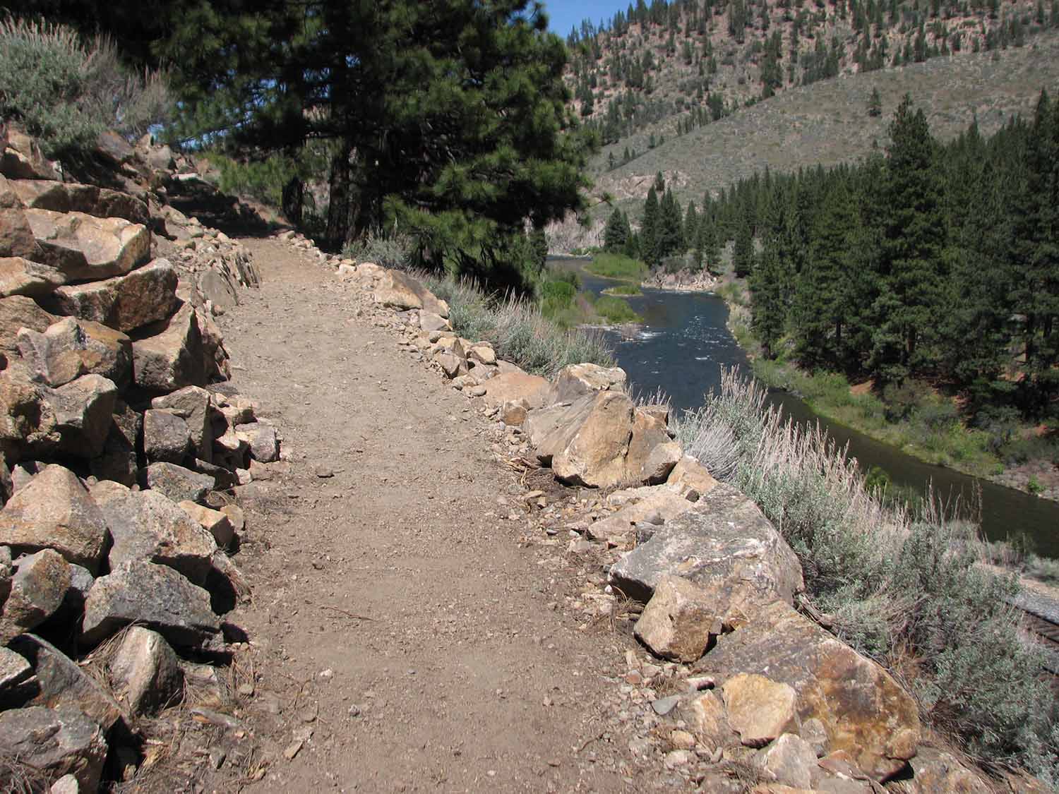
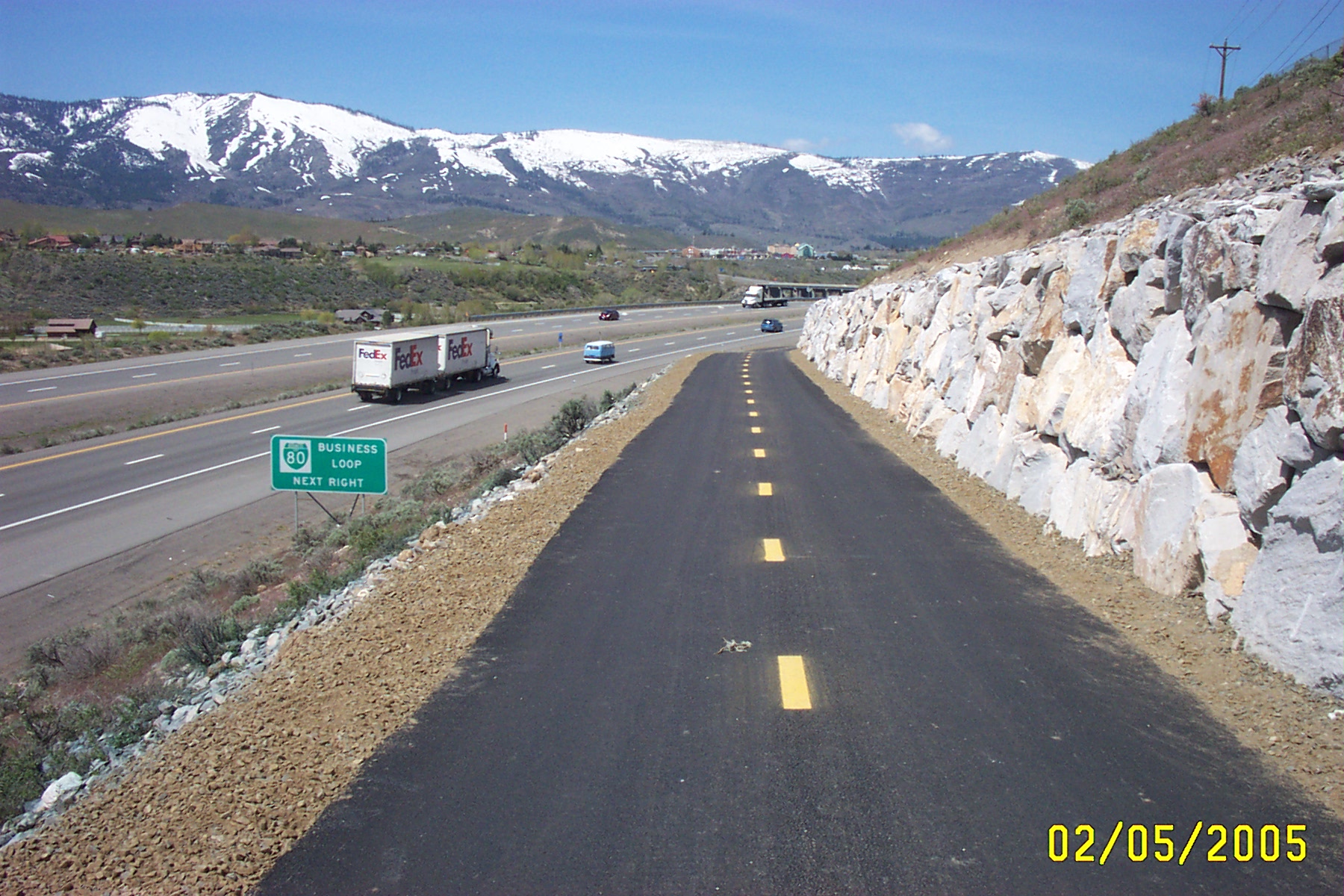
In urban areas, the trail is paved (Tahoe City to Hirschdale and through Reno-Sparks), but in other areas it is dirt. For the dirt sections, intermediate riders should plan on using mountain bikes or fatter-tired gravel bikes (advanced riders may be OK with cross bikes).
Important Note 1: Each Trail Section page also includes it’s own “CURRENT TRAIL CONDITIONS” list of any known current trail issues for that individual section. These may include trail issues such as closures, detours or other problems that are important for trail users to know ahead of time.
Important Note 2: Some trail sections are very remote with no trail-side services of any kind. It is important to be aware of your surroundings, carry adequate water and apparel for the season and be sure your cell phone is fully charged before heading out (Many trail users on the remote sections carry a supplemental external battery to charge their phone on the go). Please note too that the most remote sections of the trail may or may not have cell service which also depends on your individual cell carrier service area.
[wp-svg-icons icon=”file-pdf” wrap=”span”] Tahoe-Pyramid Trail Overview Map (PDF)
Quick Links to individual Trail Section Pages:
- Tahoe City to Hirschdale Trail Section Page >
- Hirschdate to Verdi Trail Section Page >
- Verdi to Reno/Sparks Trail Section Page >
- Mustang to USA Parkway Trail Section Page >
- Wadsworth to Pyramid Lake Trail Section Page >
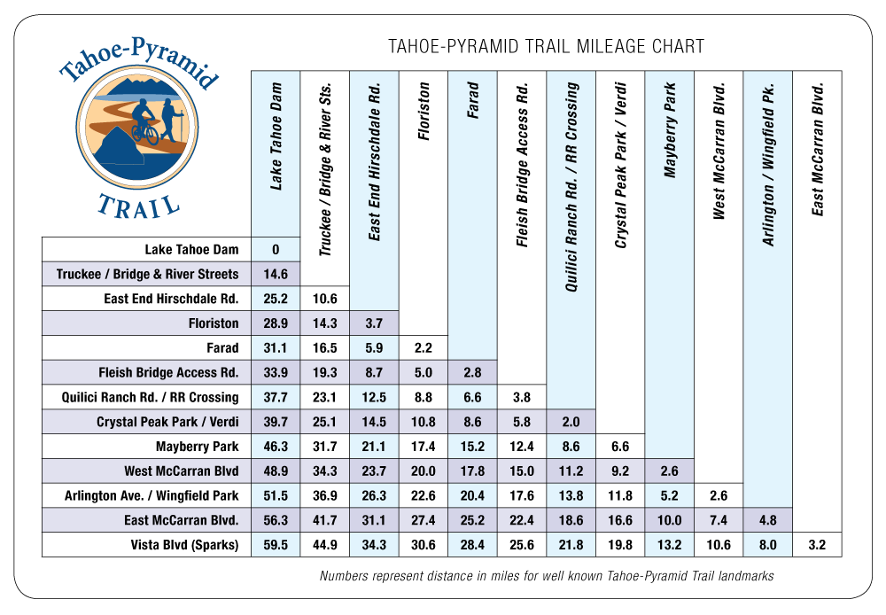
Distances Between Tahoe-Pyramid Trail’s Well Known Landmarks
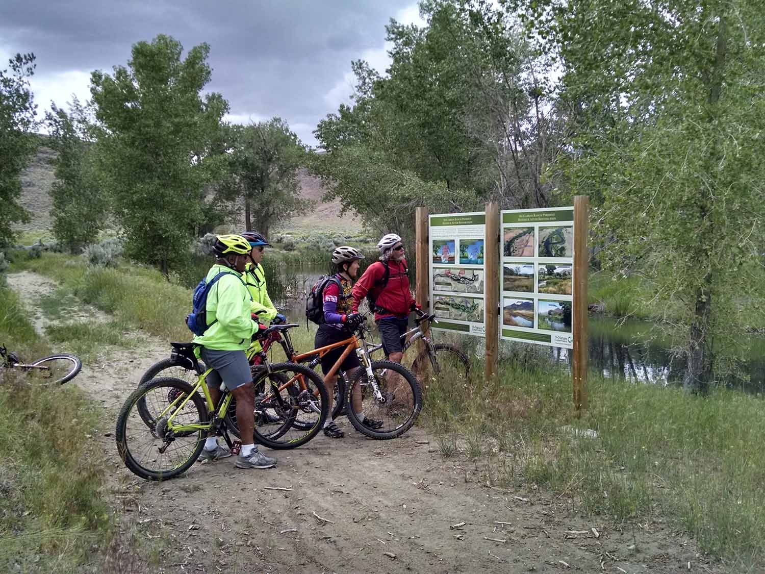
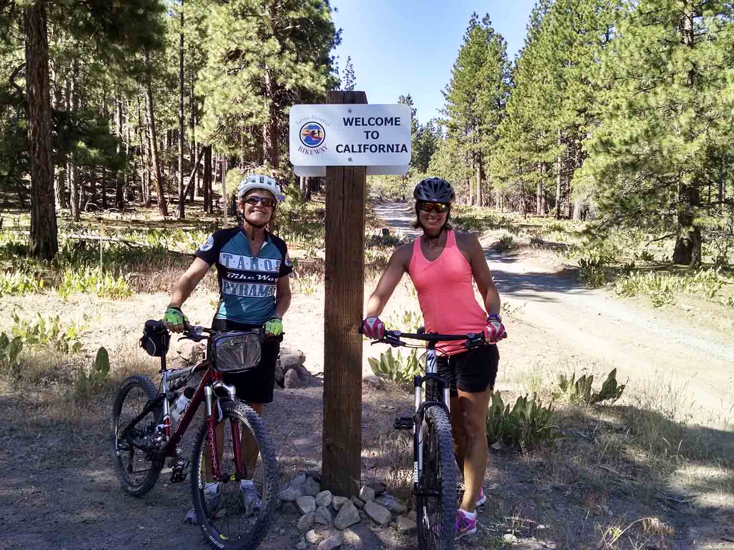
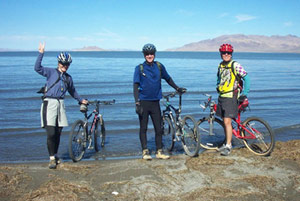
A few of the many trail photos submitted by trail users: