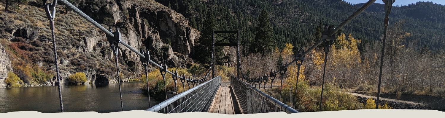
Hirschdale – Verdi Overview & Section Maps
Active Alerts for this Trail Section
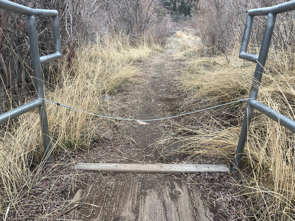
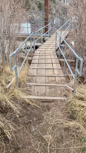
CAUTION: TRAIL OBSTACLES / SAFETY ISSUE(S) DUE TO TRAIL VANDALISM AS OF FEB 2024 – (click for more info)
SAFETY ISSUE at Fleish Bridge
We were recently notified that a person stretched an unauthorized small-diameter low-to-the-ground cable between two lower railing segments above the wooden riser at Fleish Bridge. This resulted in two reported accidents due to this situation. 1) A cyclist was riding through the railings, hit the wire, fell, and sustained injuries, and 2) a hiker tripped on the cable and tumbled to the ground.
The cable has been located and removed. No additional hazards were found in the area.
Our trails are for everyone’s safe enjoyment. If you see anything that has been tampered with and/or presents a dangerous situation, if possible, please move/remove the obstacle, and then report your incident to us. Here is the link to use and the phone number to call:
- Report Trail Problems >
- 775-825-9868
- If the situation is an emergency, do not hesitate to call 911
Below is a photo from the East end of the bridge at Fleish Dam crossing that shows the “cable across the trail”
Please exercise caution when hiking, running, or cycling in this area.
POSSIBLE (INTERMITTENT?) SIREN REACTIVATION IN HIRSCHDALE – EFFECTIVE JAN 2024 – (click for more info)
At least 1 (and possibly as many as 3) UNWELCOME SIREN ALARM(s) on Hirschdale Road have been reported as REACTIVATED by some trail users violating Nevada County orders. The most recent report of activation was from the end of January 2024 and we are continuing to look at the options to mitigate this issue. Nevada County officials have been contacted who are addressing this issue.
Trail Users have the right to pass. Please respect the private property and stay on the old roadbed in this area. If you encounter any harassment or sirens in the area, please report this to us via our Trail Reporting Form.
Several new TPT route signs have been installed in the area that will denote new parking areas, a vehicle turnaround spot, and numerous large route signs, all approved by Nevada County.
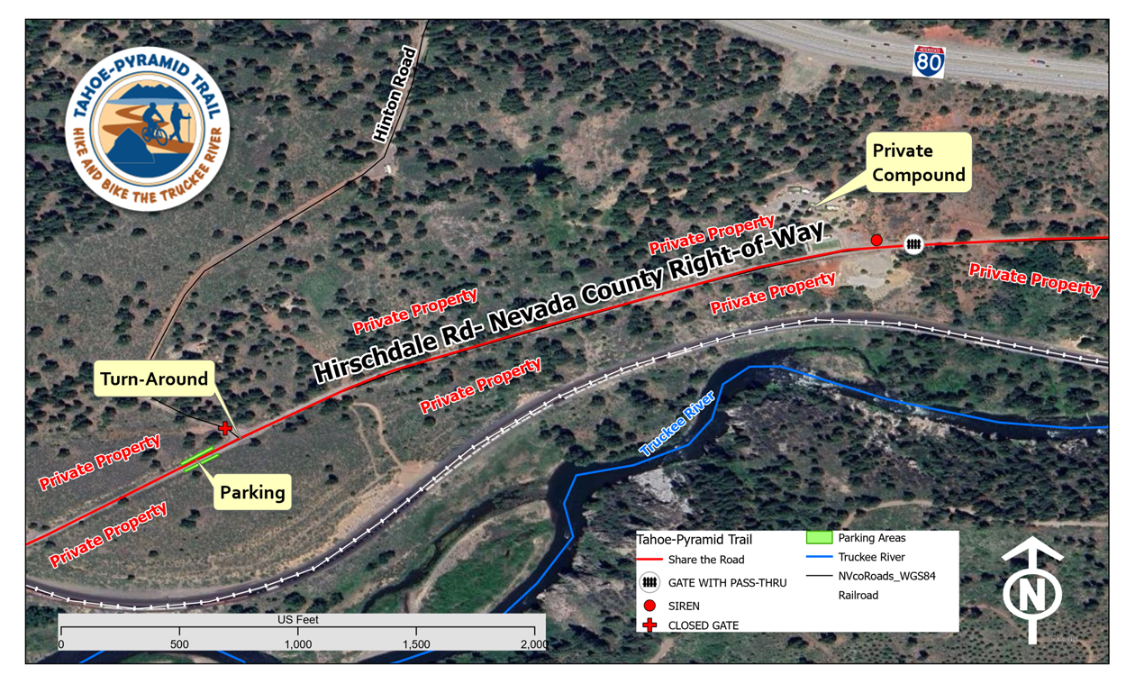
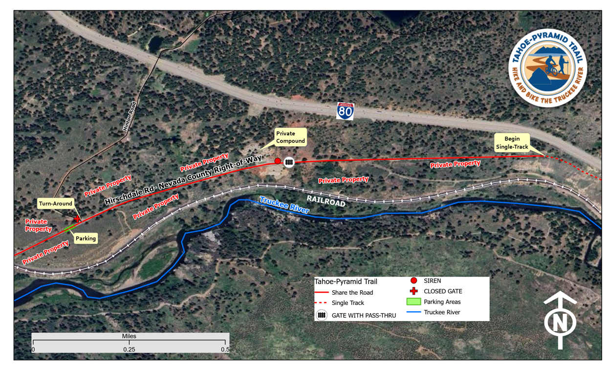
Hirschdale Parking – Current parking in Hirschdale has been expanded and now includes several parking spaces that are east of the one-lane bridge. All parking areas are marked with signs and newly graded turnouts for parking.
Click on the individual map sections for more detail
Hirschdale – Verdi Navigation Maps
NOTE: You may need to give permission in your phone settings for the below apps to use your location.
From Hirschdale:
Downstream to Verdi
RideWithGPS | GPX File Download
From Verdi:
Upstream to Hirschdale
RideWithGPS | GPX File Download
Hirschdale – Verdi Trail Details
An Important Note From Janet Phillips (Trail Founder) and the TPT Board of Directors
(Follow-up Information After the Fleish Trail Section Closure & Reopening)
- Approximately half of the Truckee River canyon trail, from Verdi to Hirschdale, is or was Private Utility property.
- Without the generous permission of TMWA, there would be no Tahoe-Pyramid Trail connection from Reno to Truckee.
- TMWA land is not public land, like the USFS or BLM. It is an operating Utility with facilities, equipment, and working personnel.
- Since the Fleish trail section opened to the public in 2013, TMWA has NEVER closed the trail without good reason.
- Any TMWA mandated trail closures have never been arbitrary or unreasonable.
In closing… Please thank a TMWA employee or TMWA board member for allowing trail use on their land.
Trail Description:
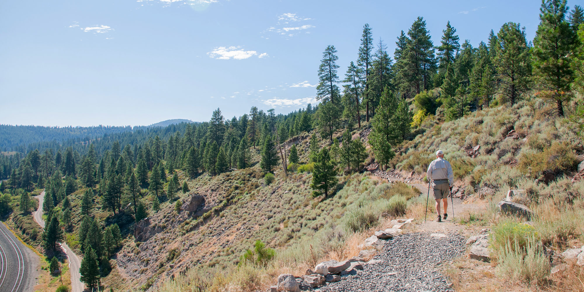
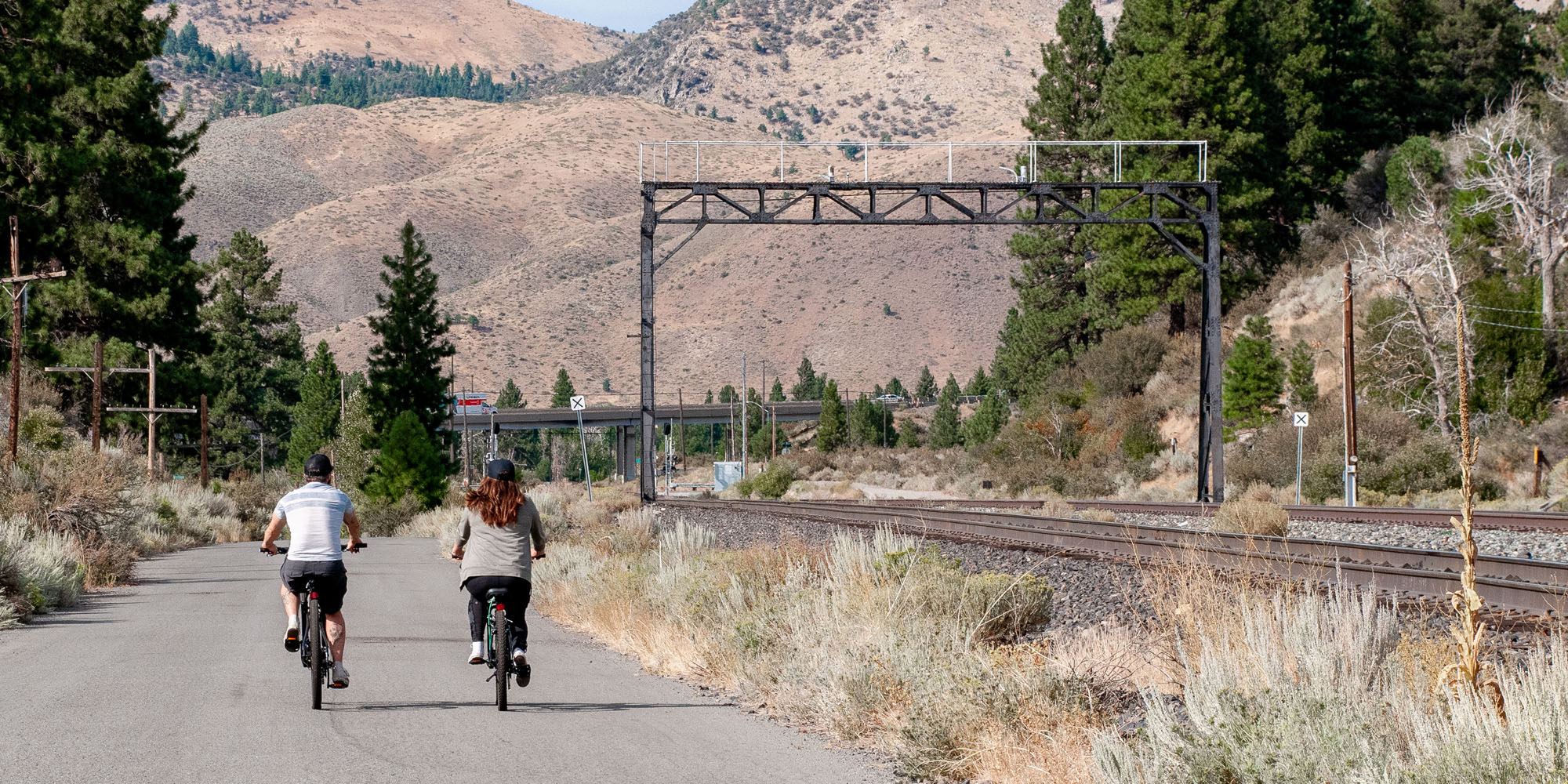
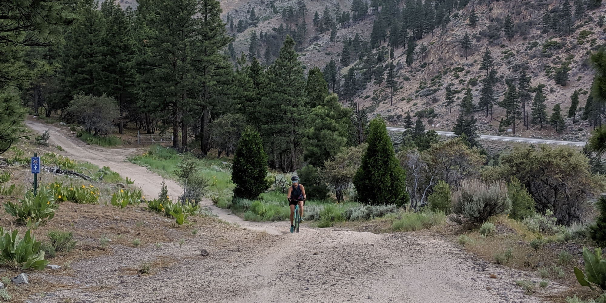
This section of the trail starts at the end of Hirschdale Road. It crosses over the Truckee River and proceeds along old Highway 40 on a partially paved flat road for about 1.5 miles. At that point, it meets the newly constructed dirt trail to Floriston. This section contains some steep sections, switchbacks, steps, and a boardwalk. From Floriston to the Fleish Bridge, the Trail is a combination of single track, dirt access road and constructed trail. The final section from Fleish Bridge to Crystal Peak Park in Verdi is single track, TMWA utility access road, gravel and then paved road. The Trail provides beautiful views of the Truckee River, and vegetation consists of open brush-covered hills to forested mountains. The total length is 16 miles and the grade ranges from flat to moderate with a steep section beyond Fleish Bridge. Finally, there is another steep section as the trail descends from the Fleish powerhouse to Quilici Ranch Road.
Trail Difficulty:
Dirt trail difficulty ranges from easy to more difficult. Experienced mountain bikers will have no problem but beginner & non-experienced riders may want to walk their bikes up/down some of the short steeper sections. For more details see IMBA trail ratings on PDF maps above.
Recommended Bikes for this Trail Section:
Mountain, Cyclocross, Gravel
Current Trail Conditions
1) Please be aware there is a new set of “extended stairs” approximately 1/2 mile upstream of Floriston on the new Hogback trail section. For both pedestrian and cyclist safety, cyclists are not to ride the stairs.
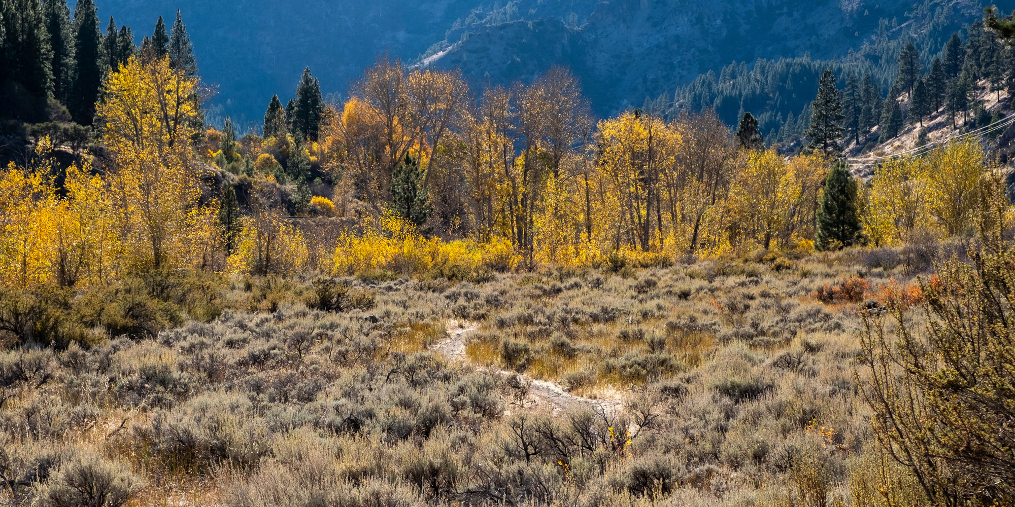
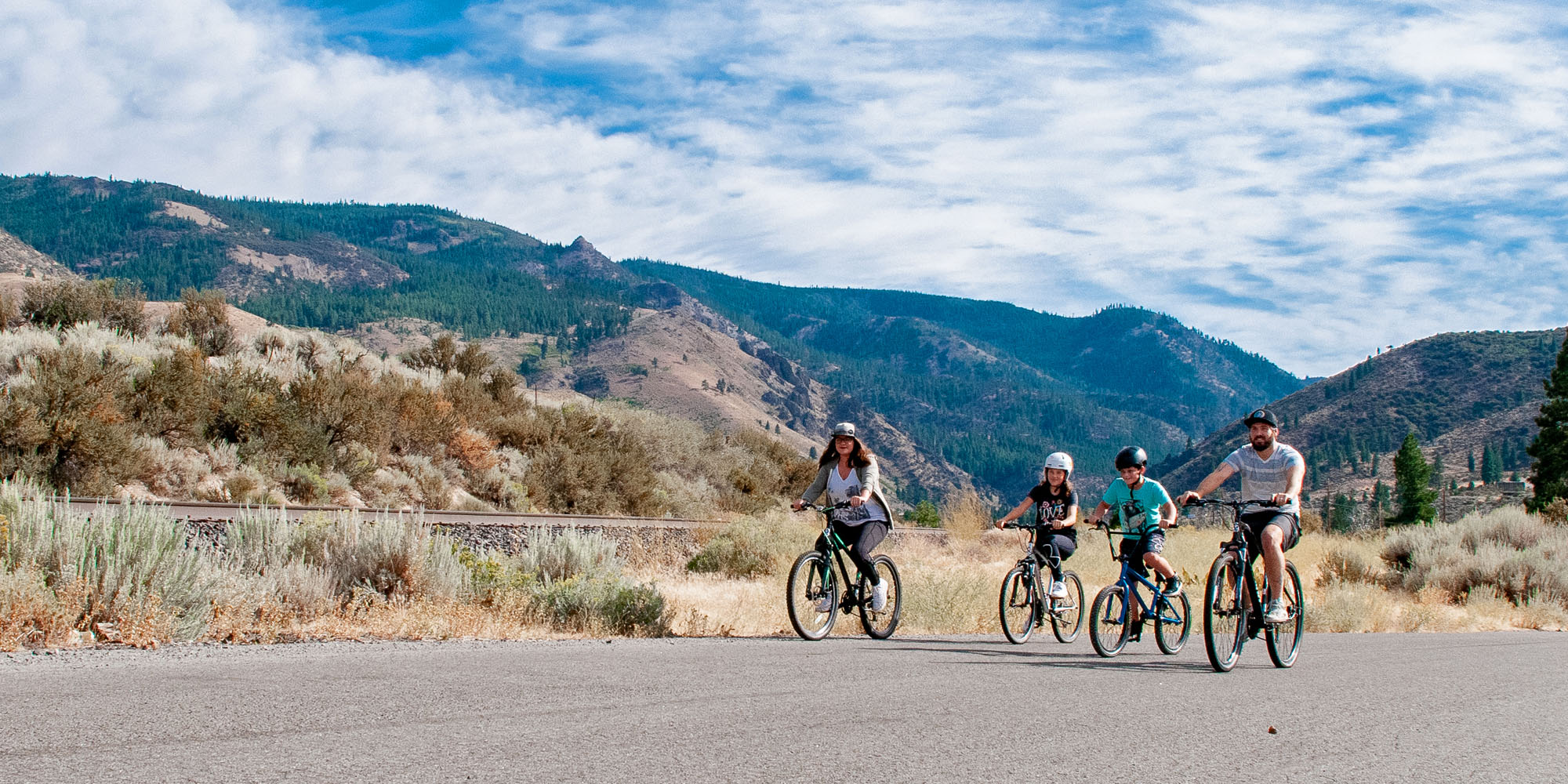
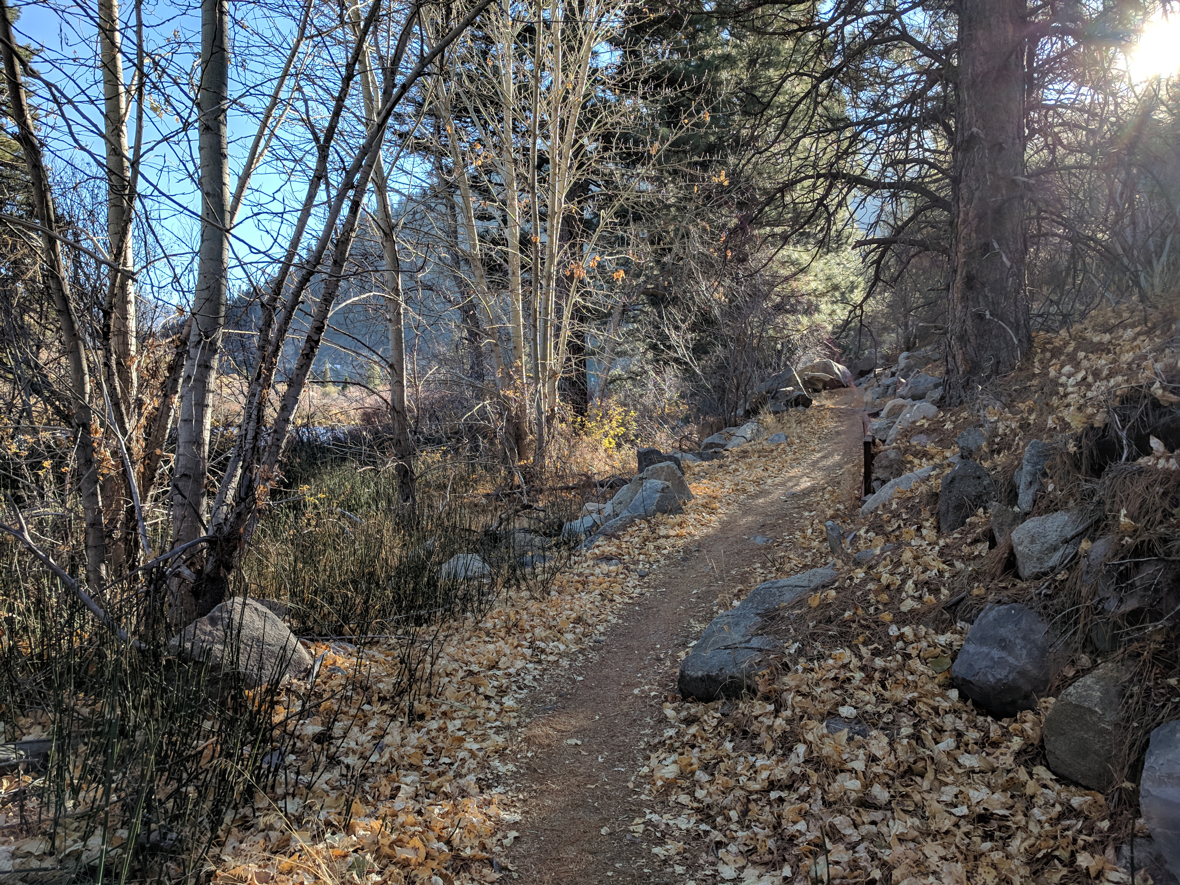
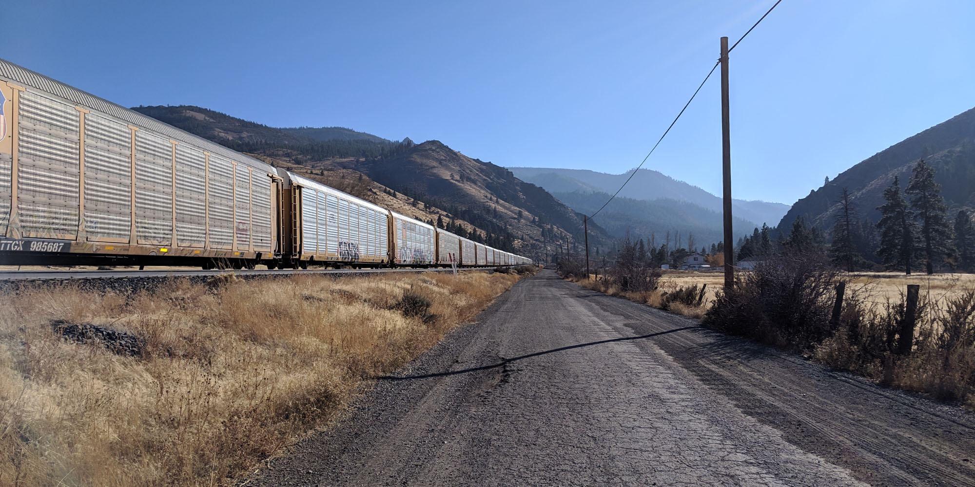
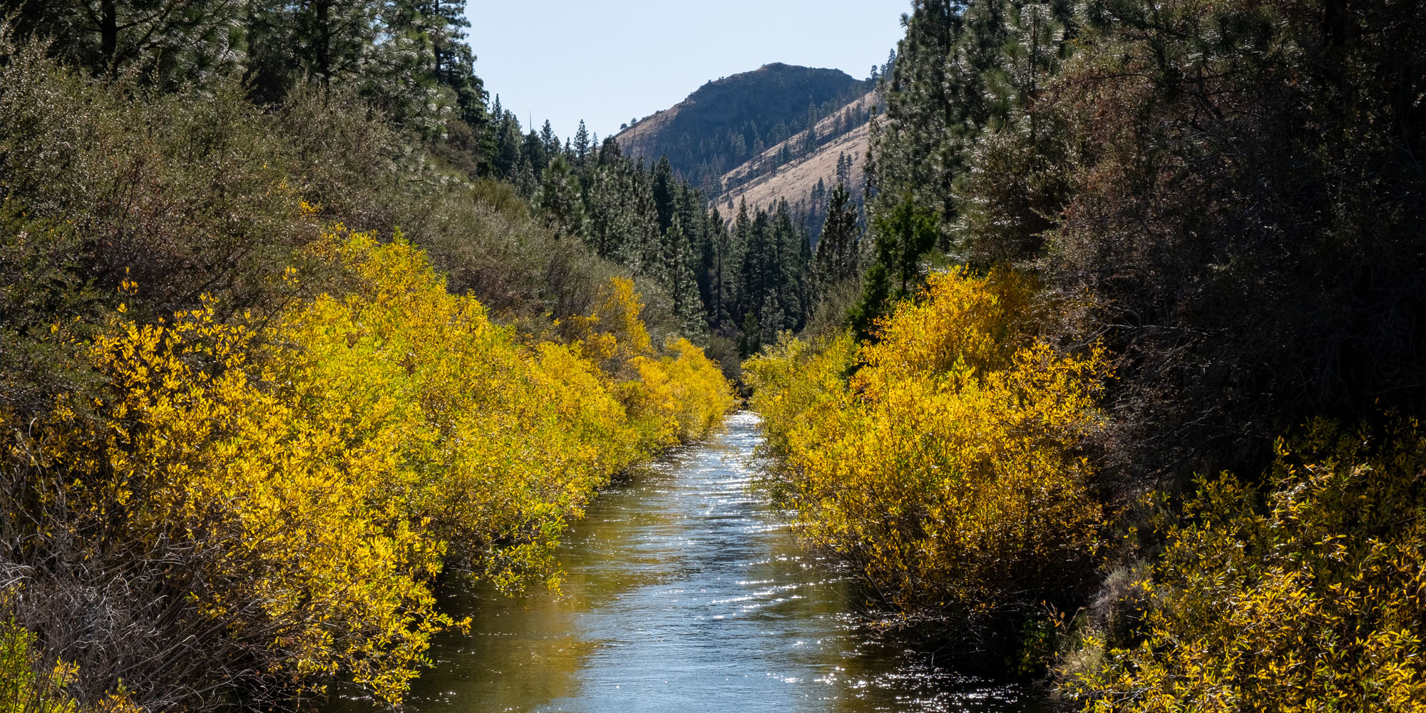
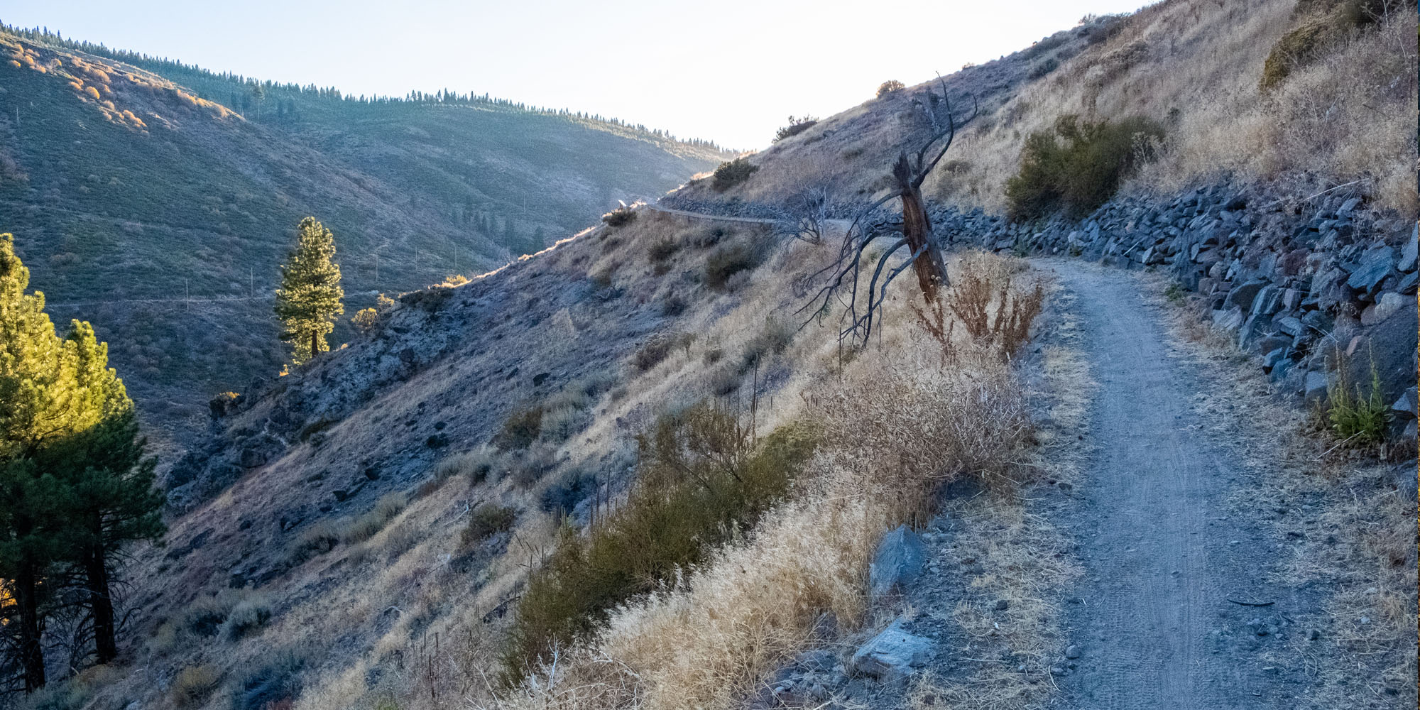
Photos of the Hirschdale – Verdi Trail Section


This Trail Connects to:
Both ends of the trail can connect to alternate gravel roads to make for a loop via Henness Pass / Stampede Dam Rd / Stampede Meadow Rd. or for an even longer loop, connect to Smithneck Rd or Lemon Canyon Rd to tour through Sierraville and/or Loyalton.
Services
There are no services of any kind on this trail section. There is cell phone service on most of the route.
