


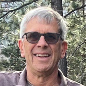
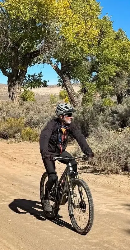
Eric Lerude has a broad background, and you may know him best for the running races that he directed in the Reno-Tahoe area. Eric and his wife Stephanie founded the Reno-Tahoe Odyssey Relay Run Adventure, the 178-mile relay run around our region. They started the relay the same year that Janet Phillips started the Tahoe-Pyramid Trail – 2003. They became friends with Janet and helped each other with their respective projects. Eric also is a retired attorney and he currently works as a senior planner for Robison Engineering.
Eric has a passion for trails, which are his haven from life’s stressors. He enjoys running, hiking and biking on trails, as well as helping to plan and build them. The Tahoe-Pyramid Trail is one of his favorites. He especially enjoys the section between Verdi, NV and Hirschdale, CA with the views of the Truckee River, Sierra Nevada peaks, and the passing trains.
Eric is a 3rd-generation Renoite. His other interests include travel, history, sports, community organizing, enjoying a hazy IPA, and camping in his teardrop trailer at a scenic destination.
 We are happy to announce our new Treasurer and member of our Tahoe-Pyramid Trail Board, Michael Hix. He has an amazing background working with a variety of organizations and we are fortunate to have him join us with his finance background.
When asked what drew him to the TPT, he replied “I joined the Board of the Tahoe-Pyramid Trail to help advance a project that brings people together. The Trail connects Lake Tahoe to Pyramid Lake, but more importantly, it connects communities, families, and visitors to the outdoors. I’m proud to support an initiative that enhances quality of life and showcases the incredible landscape we’re fortunate to call home.”
Michael is the Northern Nevada Regional President for Meadows Bank, bringing more than 35 years of experience in banking and commercial lending. Throughout his career, he has held a variety of leadership and operational roles, including credit analyst, loan officer, and branch administrator with several Northern Nevada financial institutions.
Michael holds a bachelor’s degree in finance from the University of Nevada, Reno, and is a graduate of the National Commercial Lending School at the University of Oklahoma and the Pacific Coast Banking School at the University of Washington.
Highly engaged in the community, Michael serves on the boards of Secret Witness, the University of Nevada Small Business Development Center Advisory Board, and the Reno-Sparks Chamber of Commerce. He also dedicates his time to the UNR Alumni Association, Note-Able Music Therapy Services, and the Nevada Bar Association.
Michael and his wife, Stephanie, a retired educator with the Washoe County School District, have two daughters who are both proud graduates of the University of Nevada, Reno.
July 2026 Newsletter
- Place and Permanence
- Happy Birthday, America!
- Summer Hiking Preparation
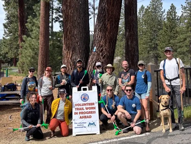
- Volunteers Clean Up and Clear Out Along the Trail
- REMSA to the Rescue
- Notes of Interest
June 2026 Newsletter
- A Monument to Stand the Test of Time
- Cycling Through Southern Spain on the Seat of a Bicycle!
- Introducing 10 Torr Distilling and Brewing as the TPT’s Newest Sponsor
- Sam Limerick, our Amazing Map Maker
- Coming of Age on the Tahoe-Pyramid Trail
May 2026 Newsletter
- My “Welcome Summer” Adventure
- Tailwind Stories
- Ready, Set, Snap!
- Join the 93 Mile Club!
- Will Hike or Ride for Cookies?