

photo by TPT
Trail Description
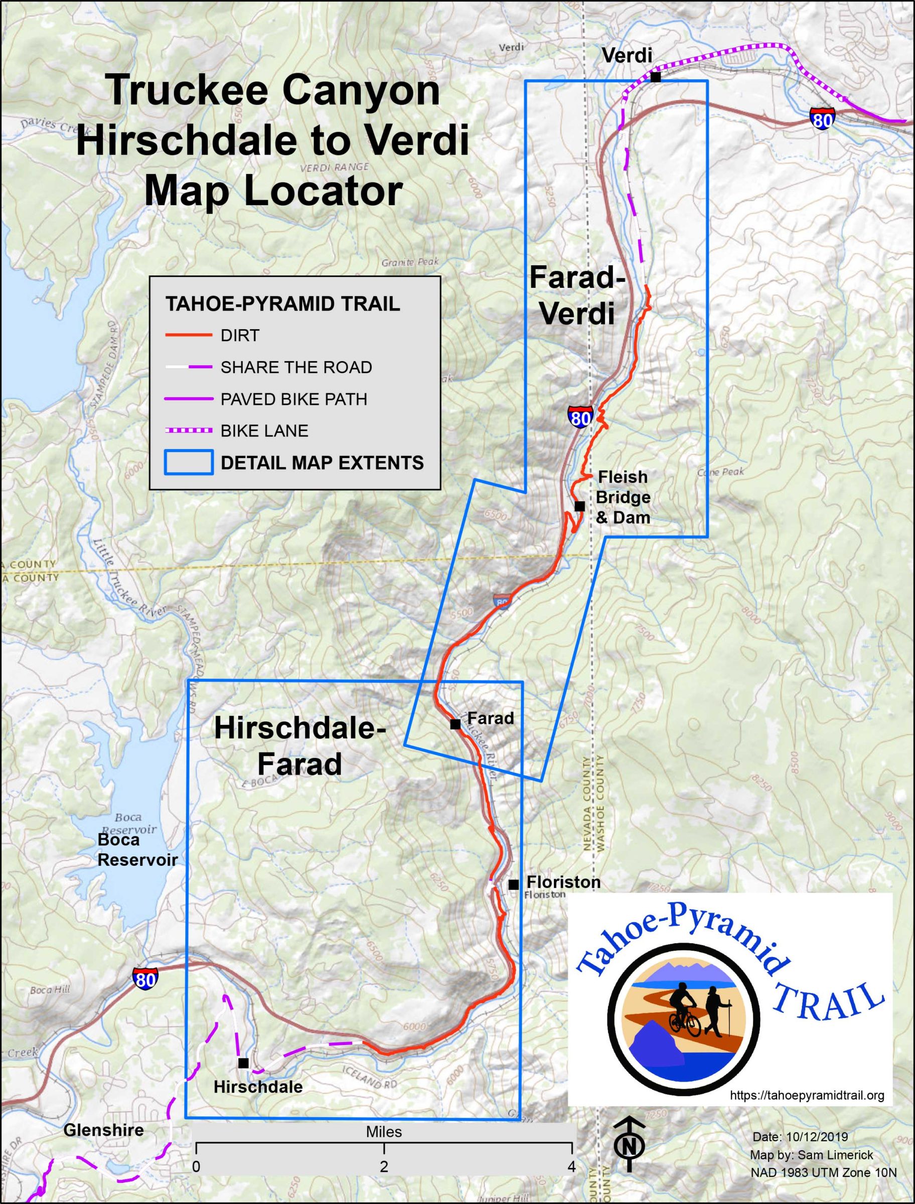
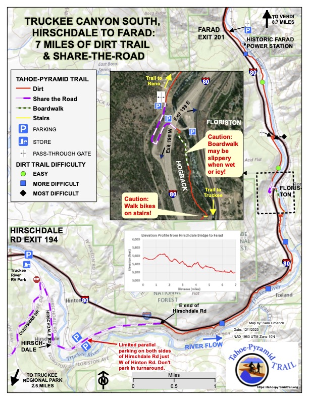
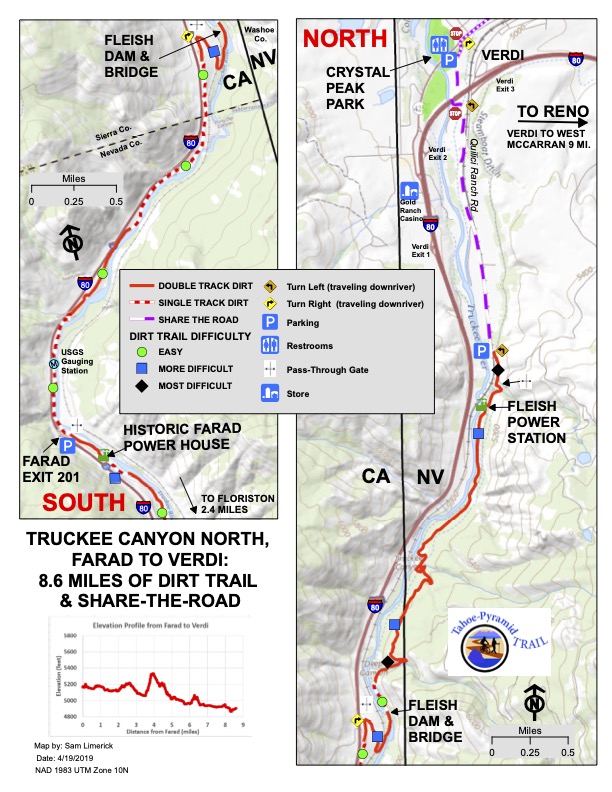
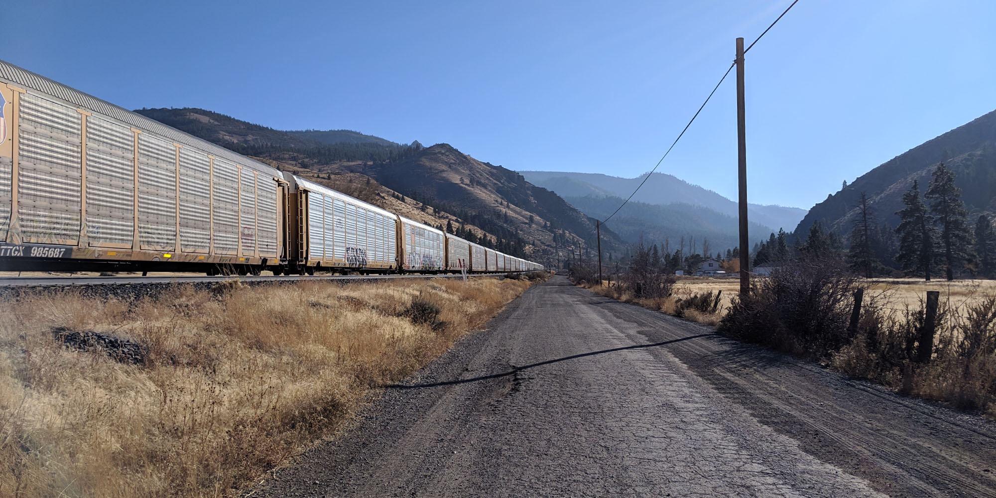
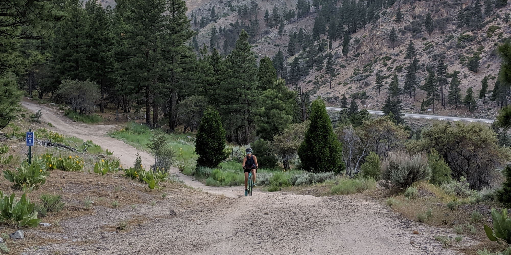
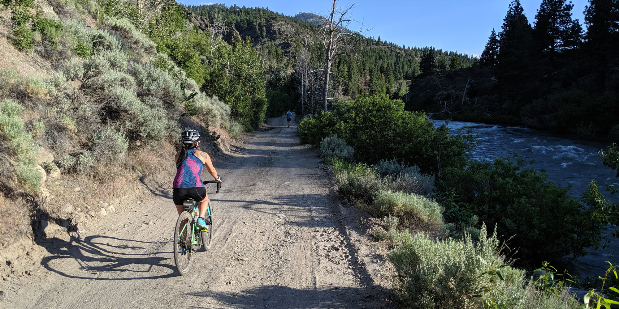
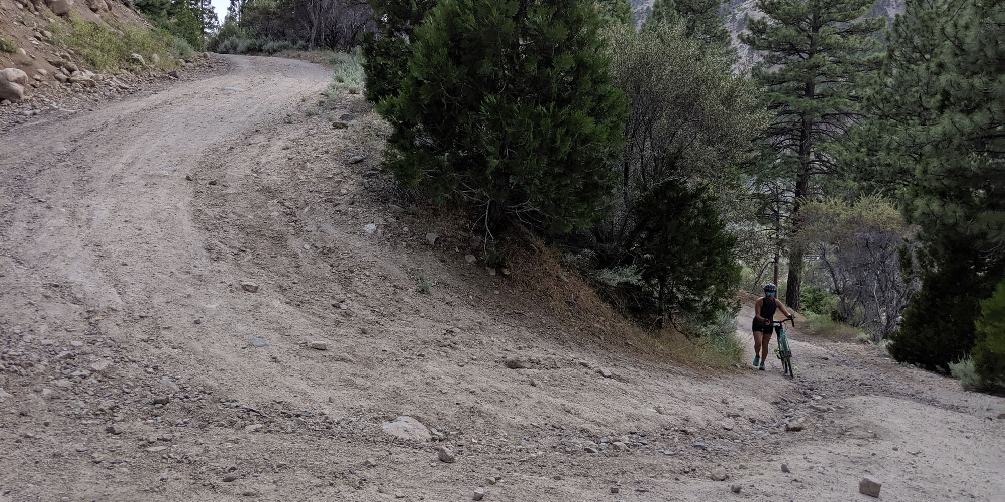
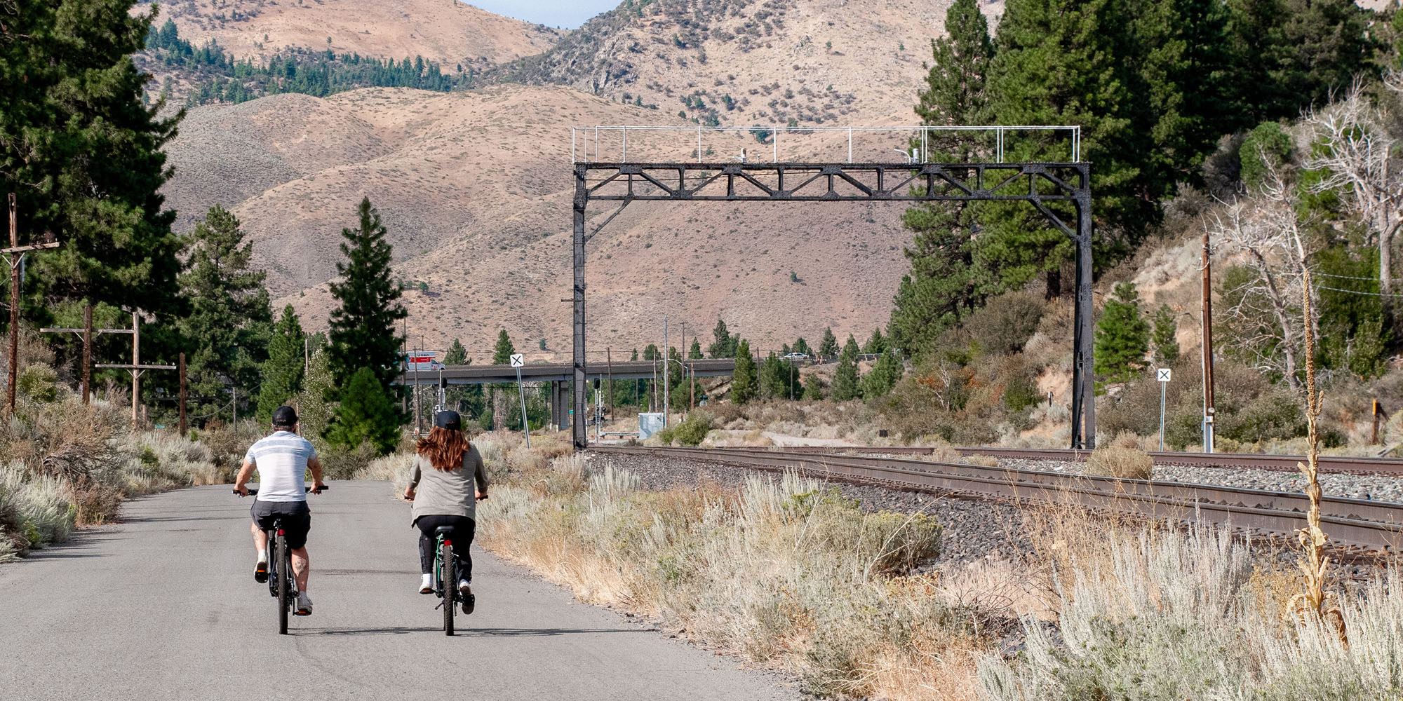
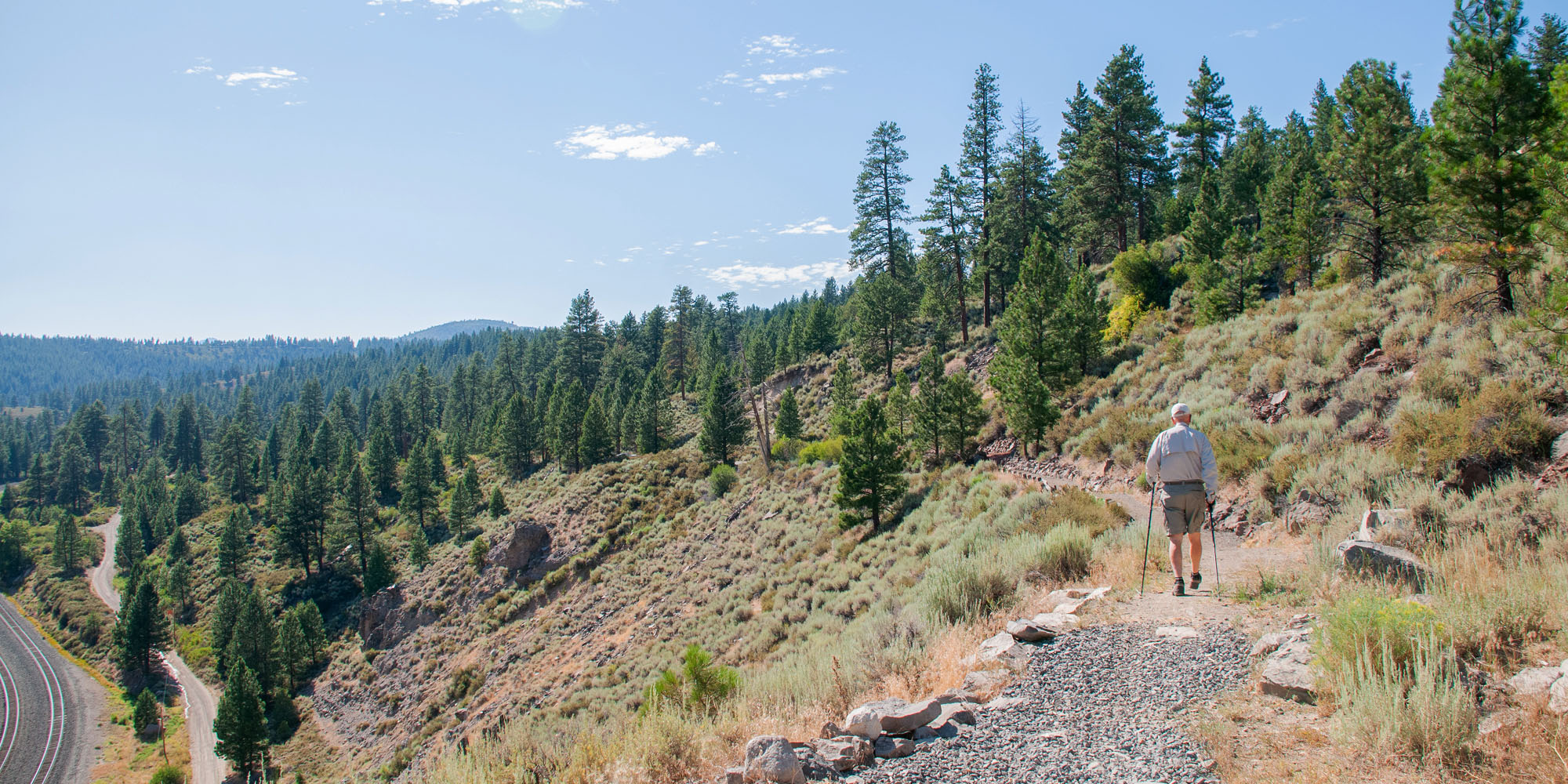
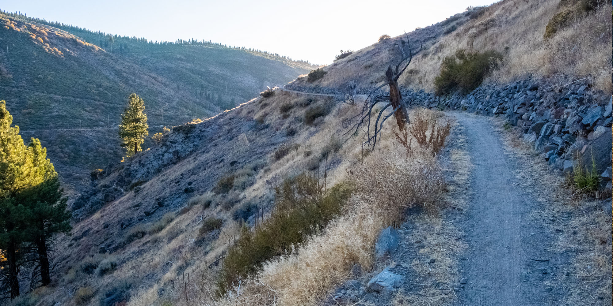
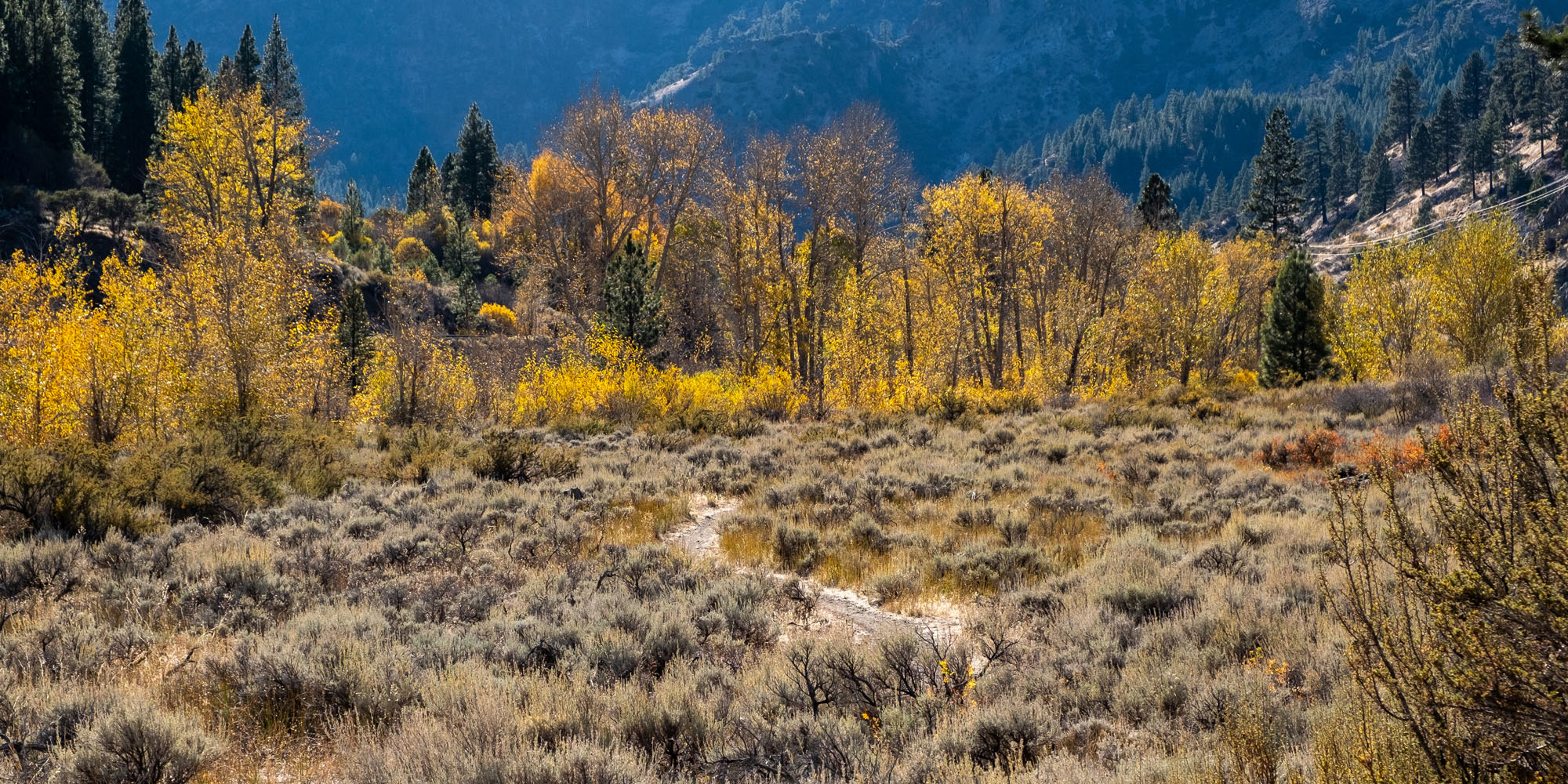
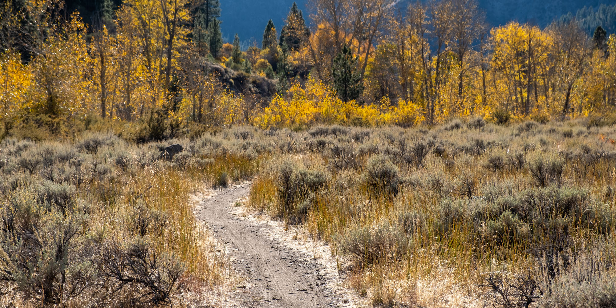
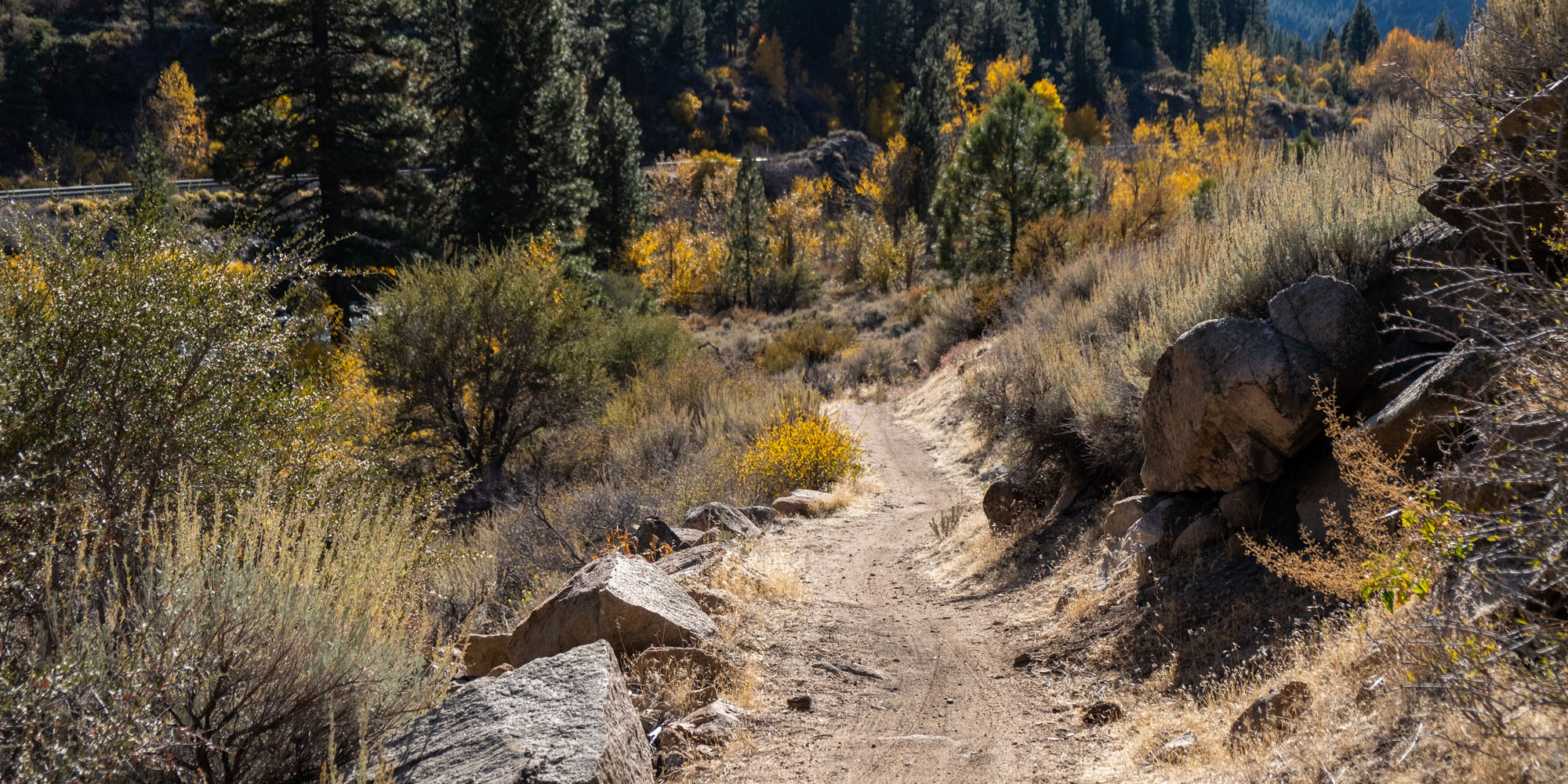
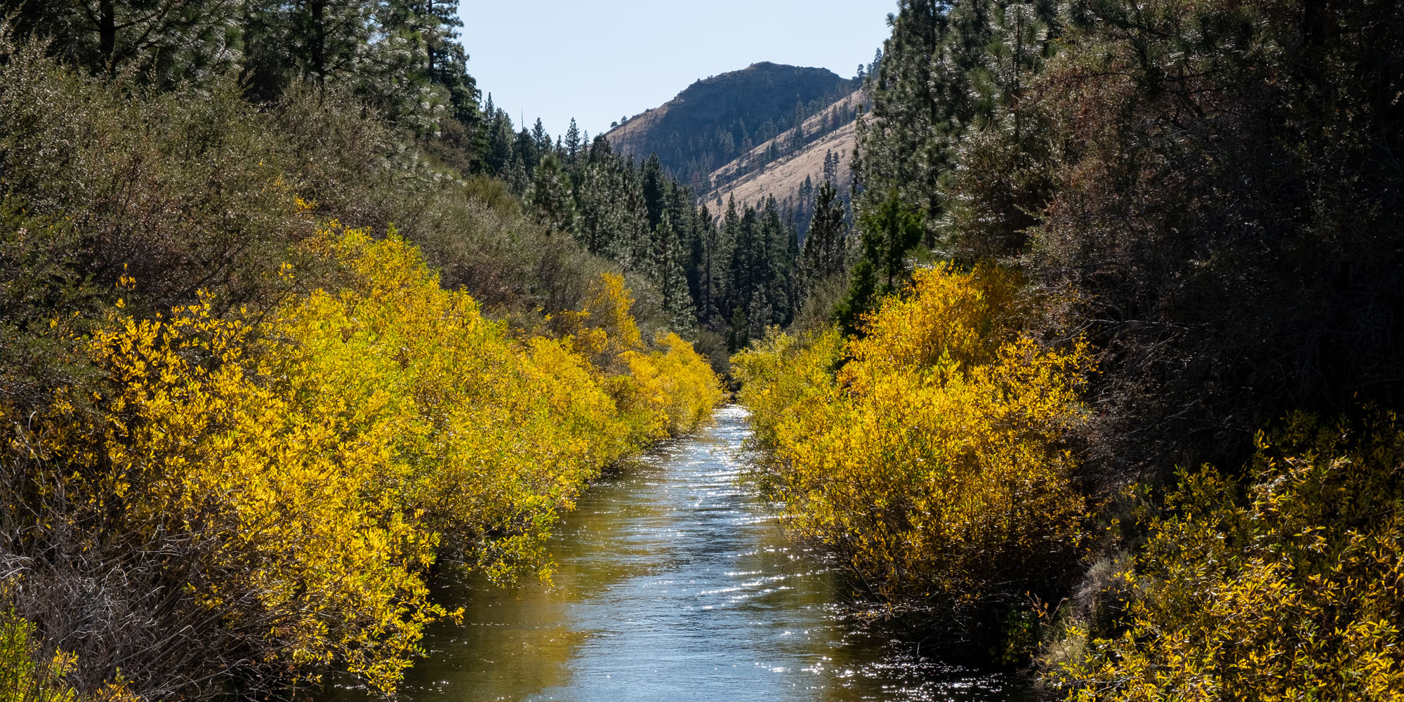
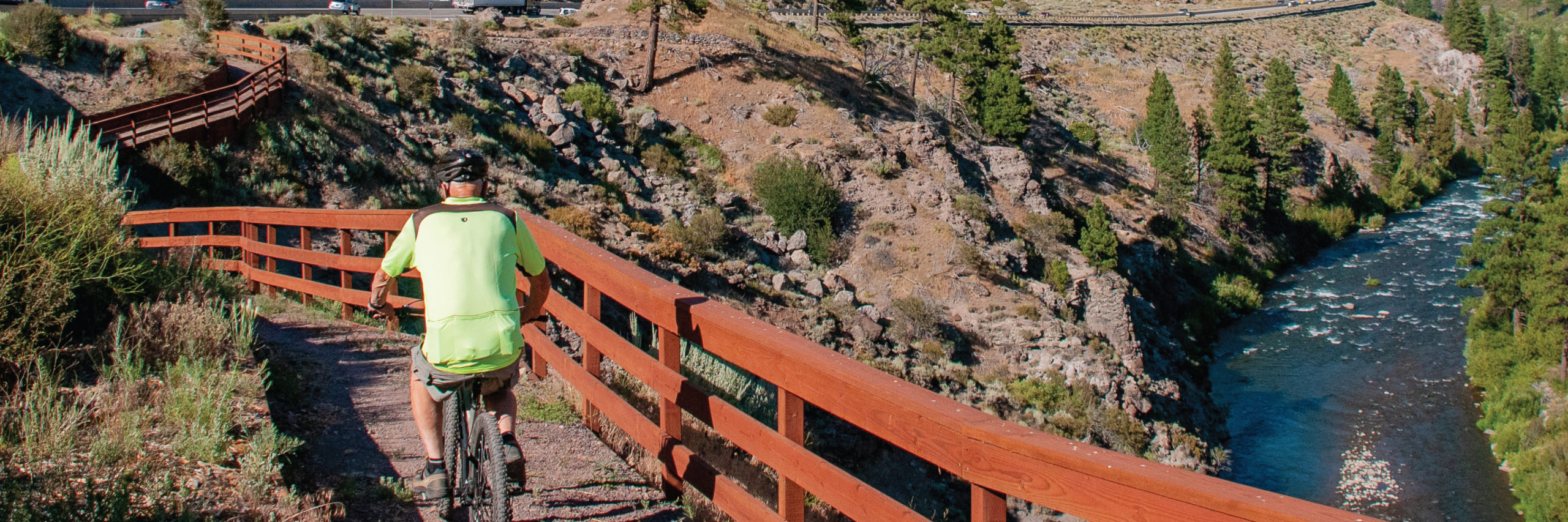
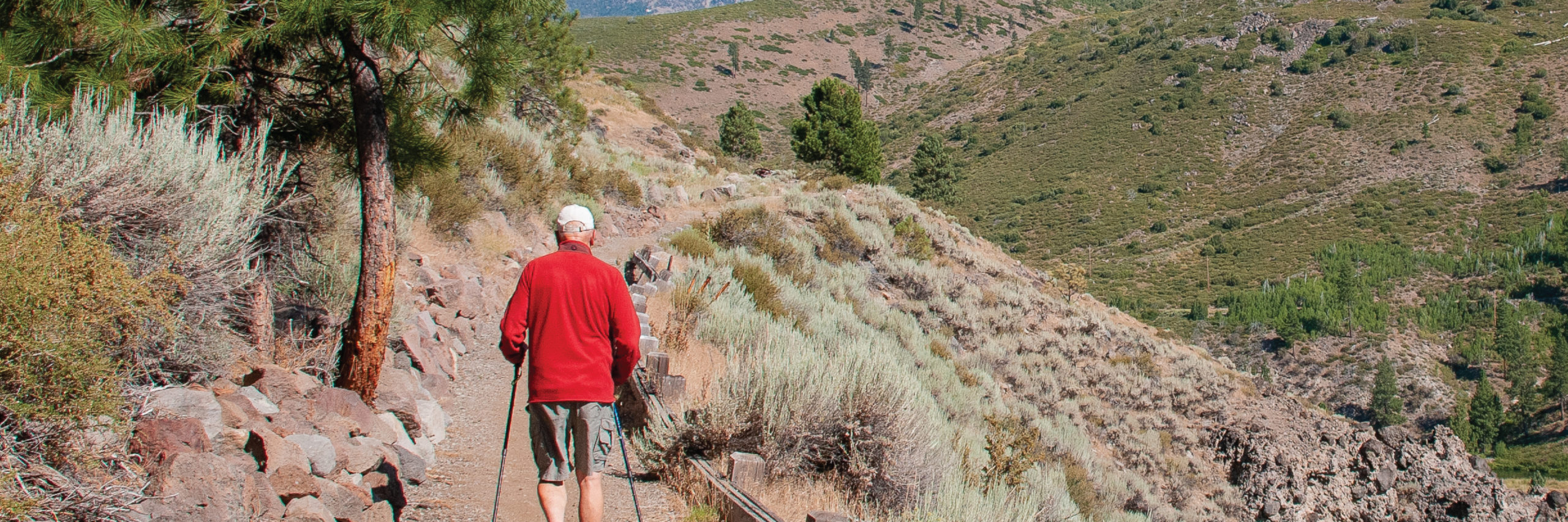
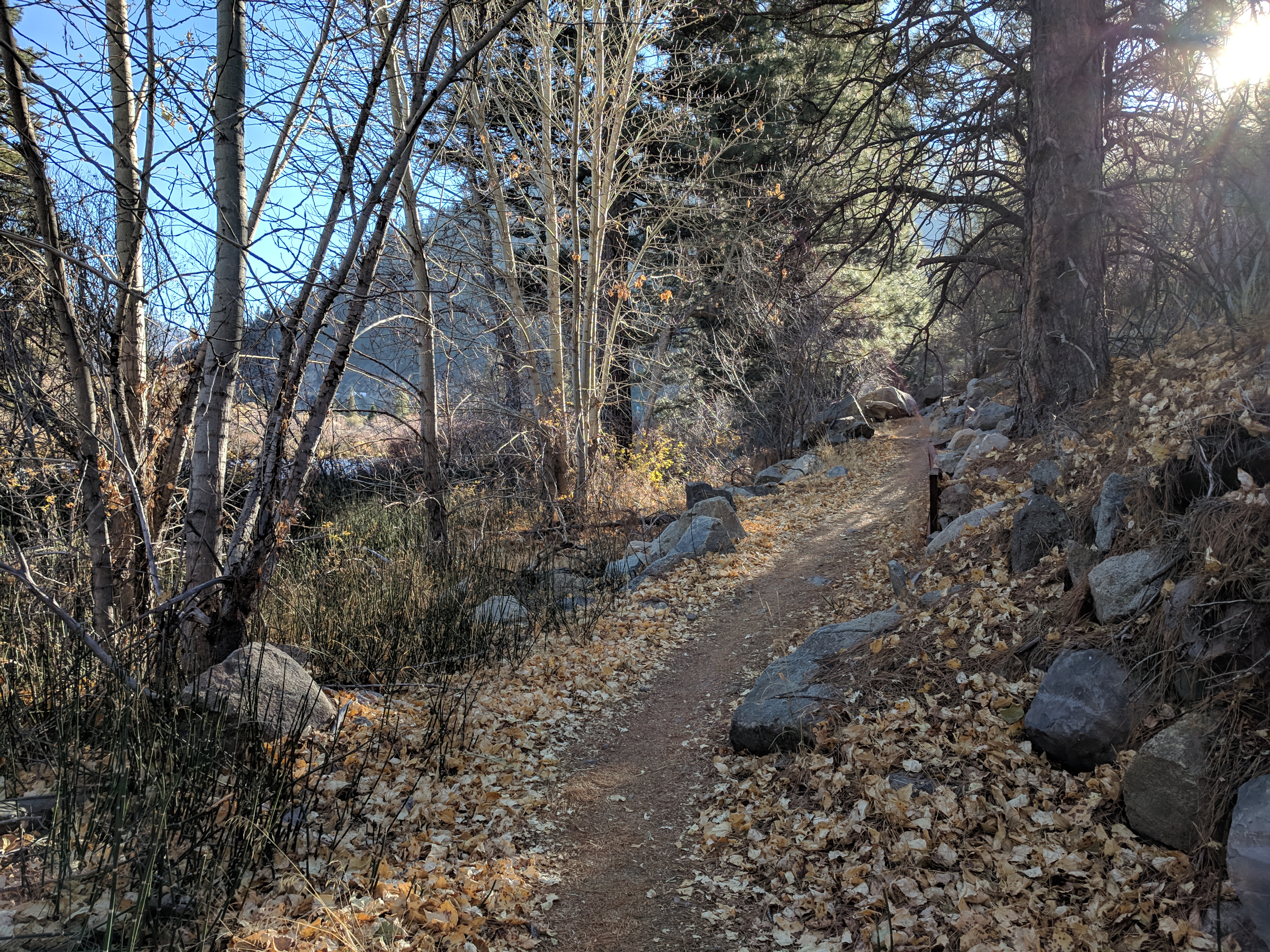
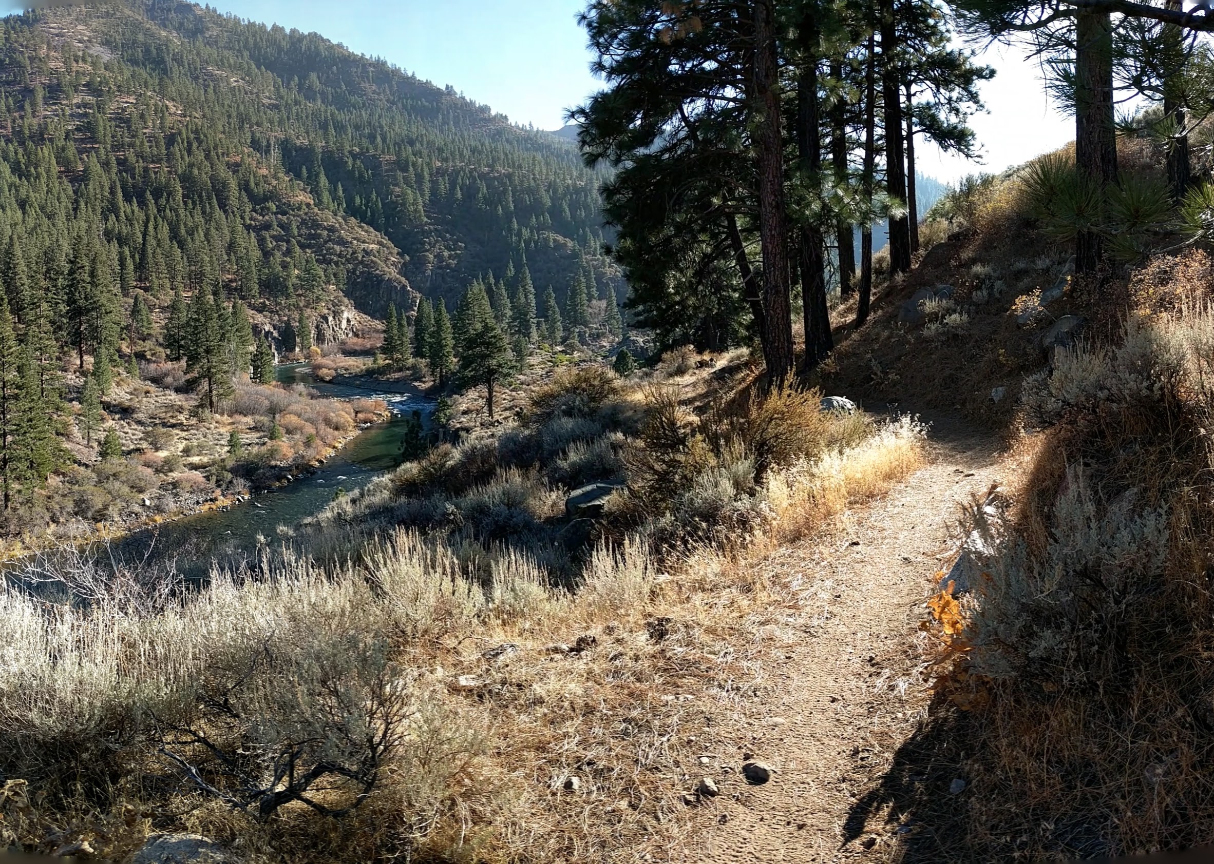
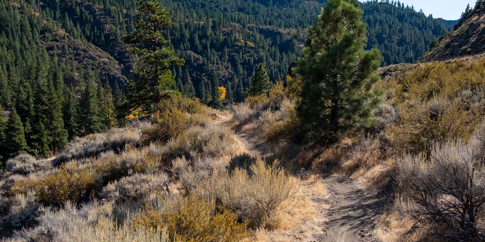
This section of the trail starts at the end of Hirschdale Road. It crosses over the Truckee River and proceeds along old Highway 40 on a partially paved flat road for about 1.5 miles. At that point, it meets the newly constructed dirt trail to Floriston. This section contains some steep sections, switchbacks, steps, and a boardwalk. From Floriston to the Fleish Bridge, the Trail is a combination of single track, dirt access road and constructed trail. The final section from Fleish Bridge to Crystal Peak Park in Verdi is single track, TMWA utility access road, gravel and then paved road. The Trail provides beautiful views of the Truckee River, and vegetation consists of open brush-covered hills to forested mountains. The total length is 16 miles and the grade ranges from flat to moderate with a steep section beyond Fleish Bridge. Finally, there is another steep section as the trail descends from the Fleish powerhouse to Quilici Ranch Road.
Difficulty Level
Dirt trail difficulty ranges from easy to more difficult. Experienced mountain bikers will have no problem but beginner & non-experienced riders may want to walk their bikes up/down some of the short steeper sections. For more details see IMBA trail ratings on PDF maps above.
Services
There are no services of any kind on this trail section. There is cell phone service on most of the route.
Trail Connections
Both ends of the trail can connect to alternate gravel roads to make for a loop via Henness Pass / Stampede Dam Rd / Stampede Meadow Rd. or for an even longer loop, connect to Smithneck Rd or Lemon Canyon Rd to tour through Sierraville and/or Loyalton.
Recommended Bikes
Mountain, Cyclocross, Gravel
Special Considerations
- Approximately half of the Truckee River canyon trail, from Verdi to Hirschdale, is or was Private Utility property.
- Without the generous permission of TMWA, there would be no Tahoe-Pyramid Trail connection from Reno to Truckee.
- TMWA land is not public land, like the USFS or BLM. It is an operating Utility with facilities, equipment, and working personnel.
- Since the Fleish trail section opened to the public in 2013, TMWA has NEVER closed the trail without good reason.
- Any TMWA mandated trail closures have never been arbitrary or unreasonable.
In closing… Please thank a TMWA employee or TMWA board member for allowing trail use on their land.