

Ways to Find, Stay On, and Enjoy the Tahoe-Pyramid Trail
This page is a summary of all the ways you can find the Tahoe-Pyramid Trail.
For full details be sure to go to the Trail Section page you are interested in where you can find a detailed map with a map inset that shows where to exit the freeway, where to park, and where the trailhead is for the direction you plan to go.
SMALL TRAIL ROUTE SIGNS:
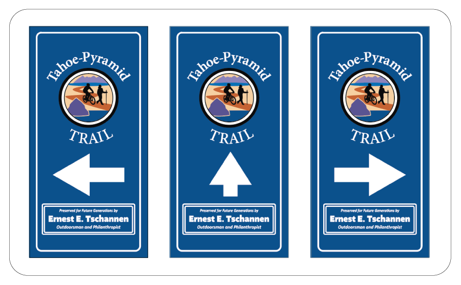
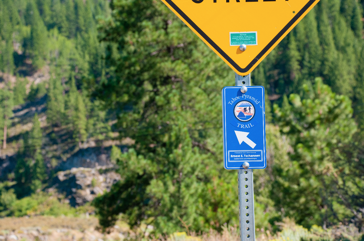
The first trail route support option is these low-tech small aluminum directional signs (shown above) that have been placed at every major point along the trail indicating which way you should travel to stay on the trail without consulting a map or using GPS software. They are meant as an as-you-go route support tool.
Many hikers and riders have found these small signs an invaluable tool to help find and stay on the route without having to consult a map. These are especially helpful in more confusing trail situations such as roundabouts, bike path/roadway merge areas, and where bicycles share the roadway with vehicles.
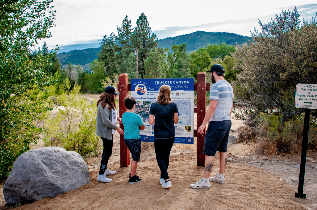
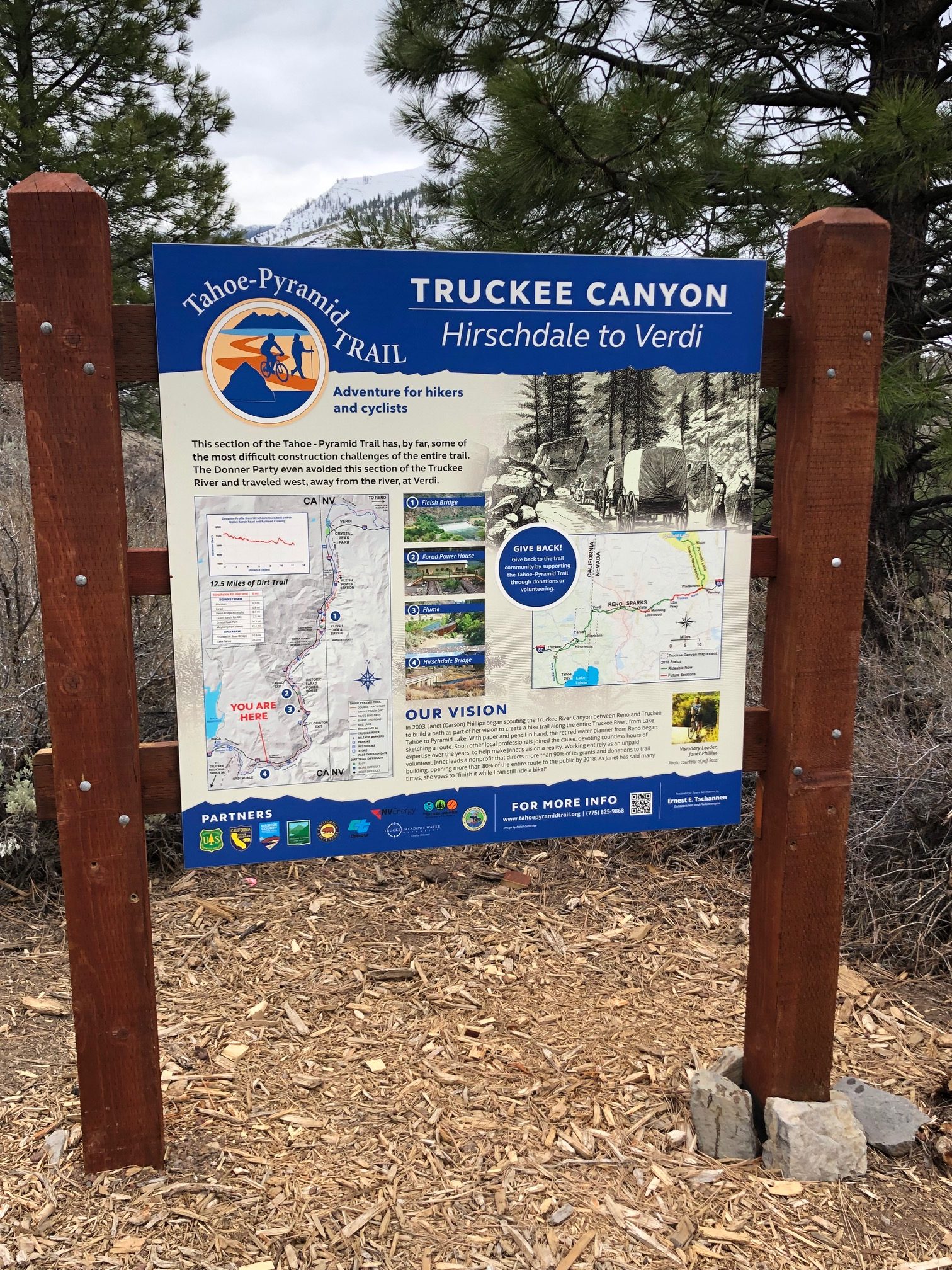
TRAILSIDE INFORMATION SIGNS & KIOSKS
These informational trail signs/kiosks are very obvious “trail markers” and are most often found at “Trail Section” start/endpoints. The signs include historical and route information for the section ahead. These signs are a good place to take in your surroundings, have a snack break or learn something new about the area you are in.
On the Hirschdale/Verdi Trail section, there are also several historical signs along this route detailing the history of the Truckee River Canyon from original indigenous cultures to the more recent history of the mid-twentieth century.