

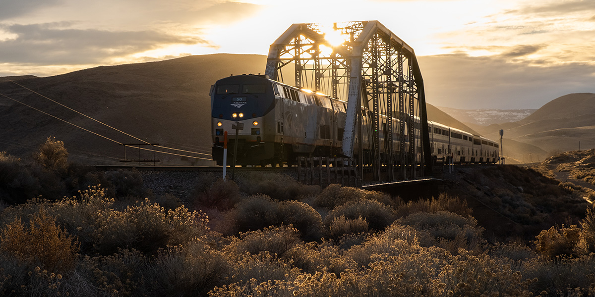
photo by TPT
Trail Description
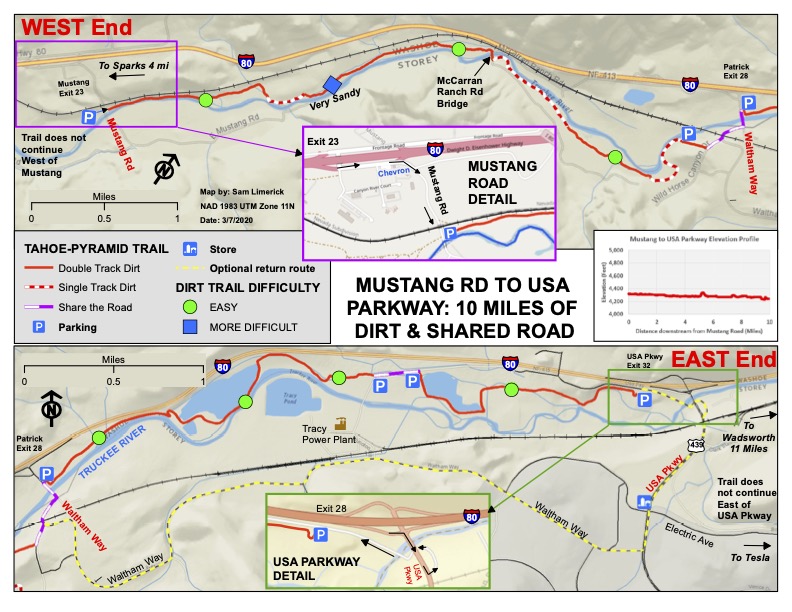
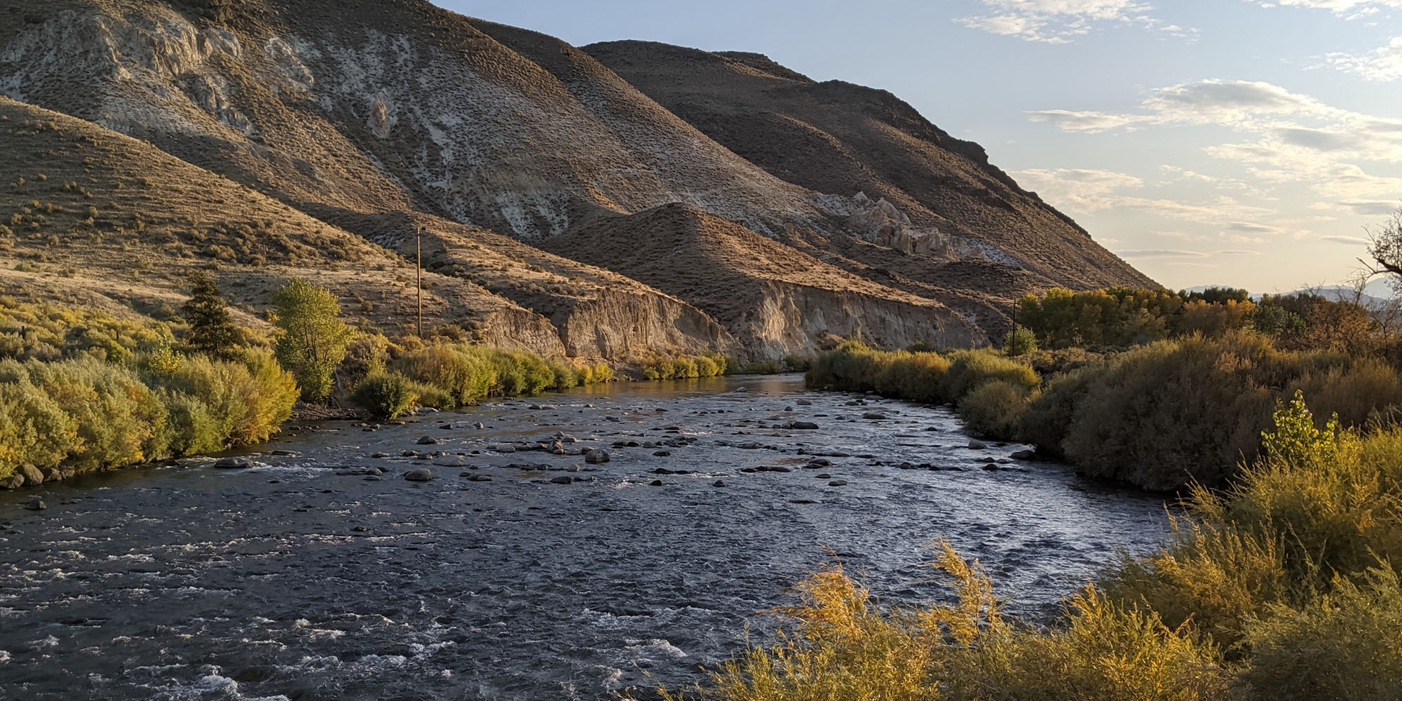
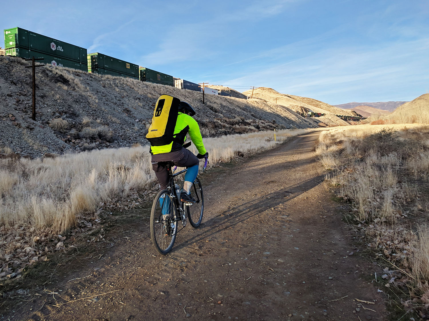
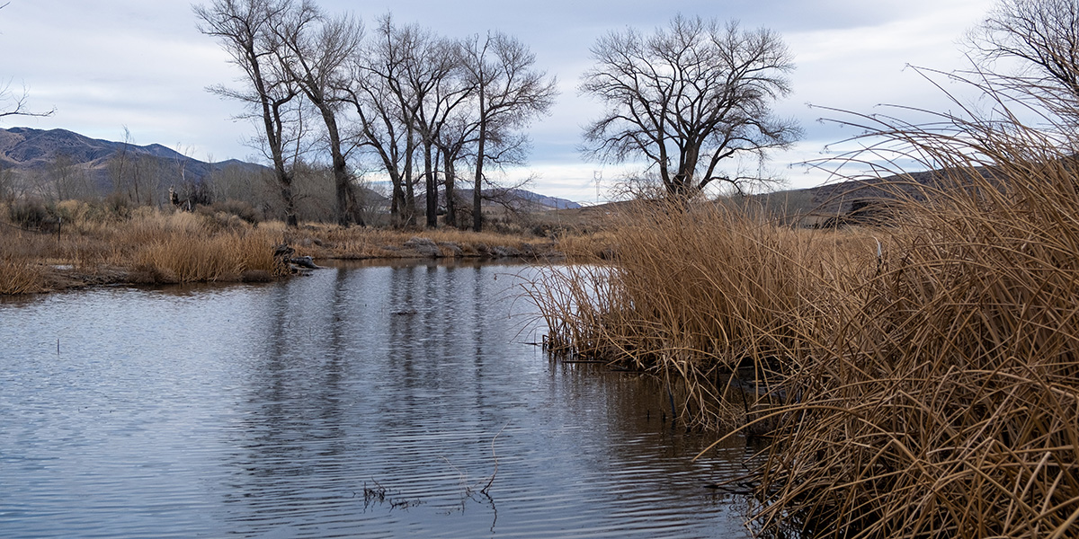
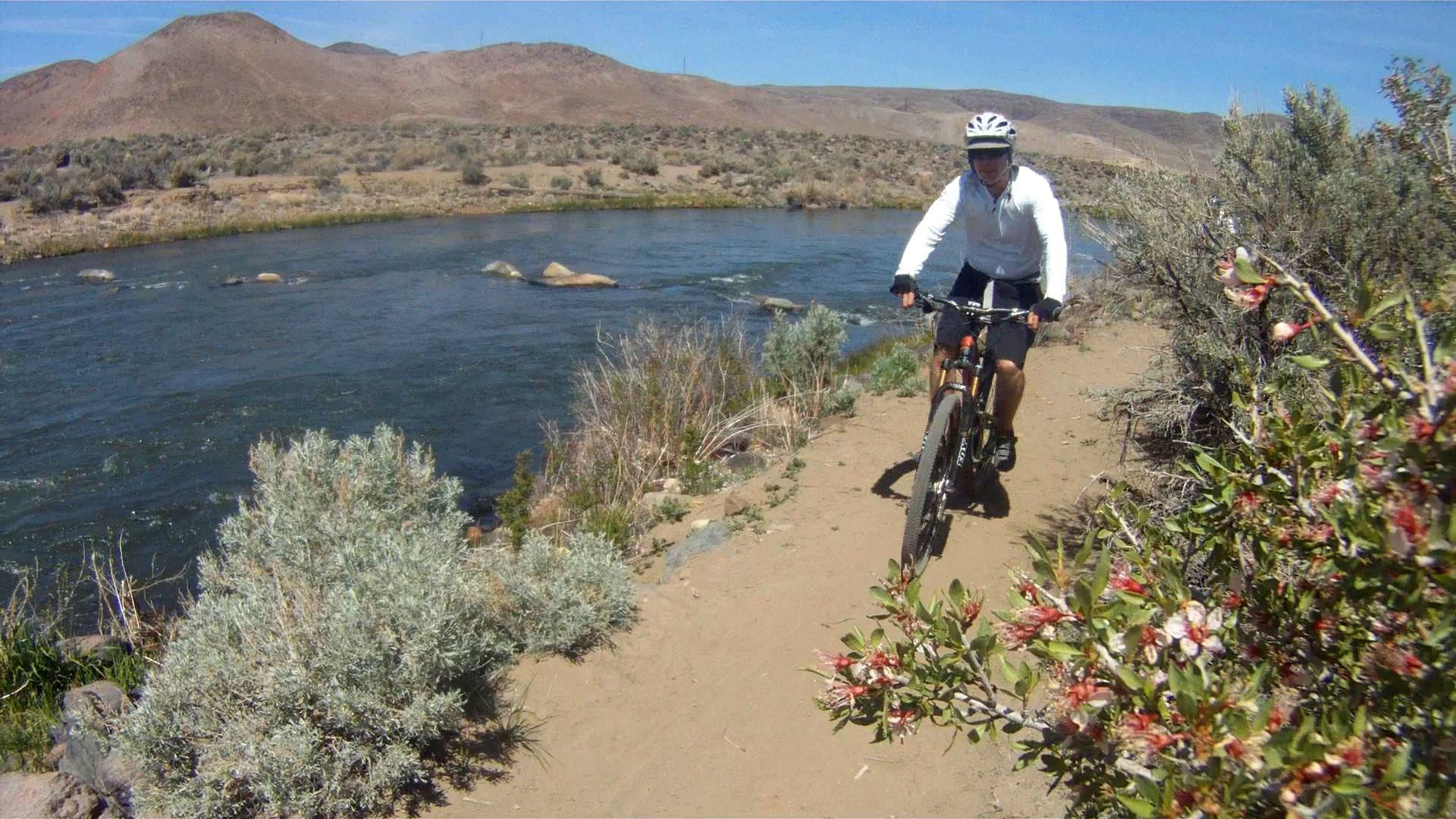
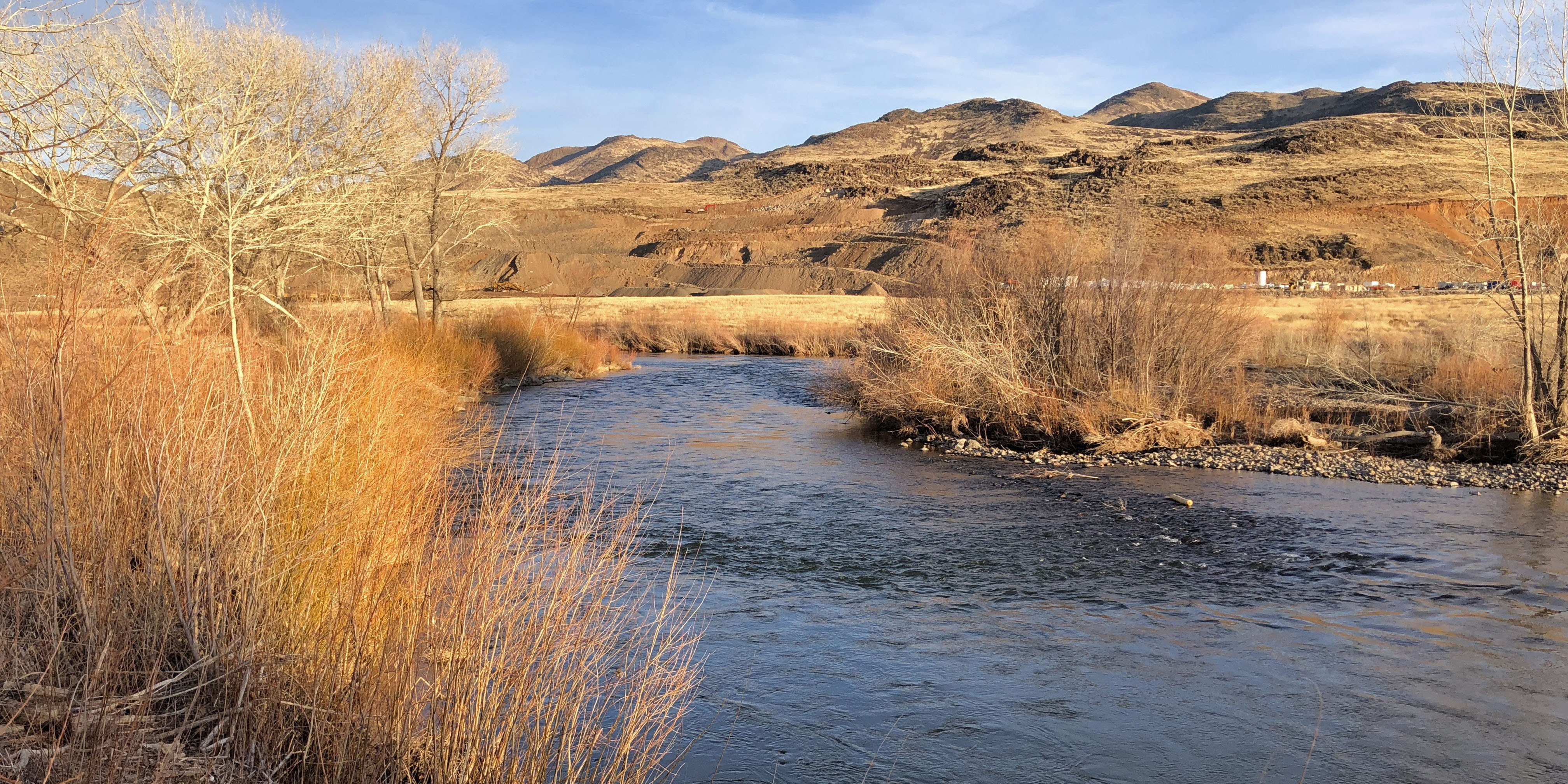
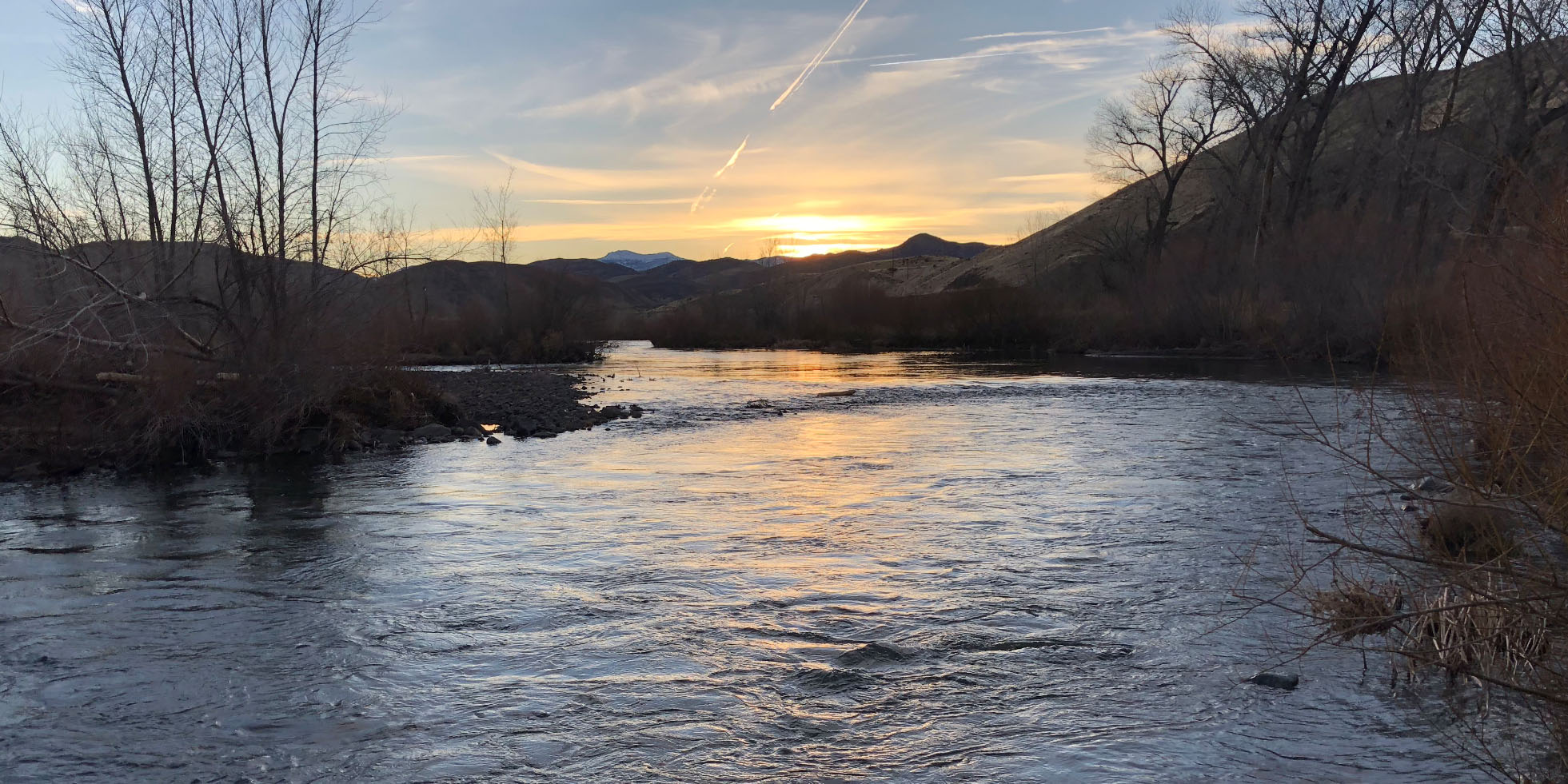
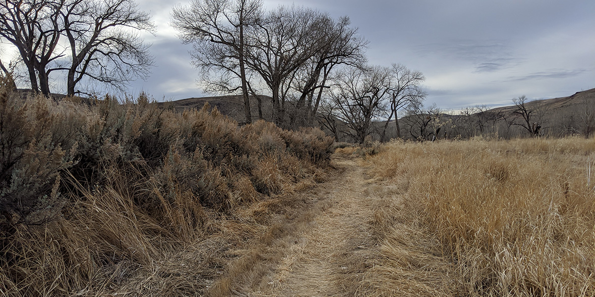
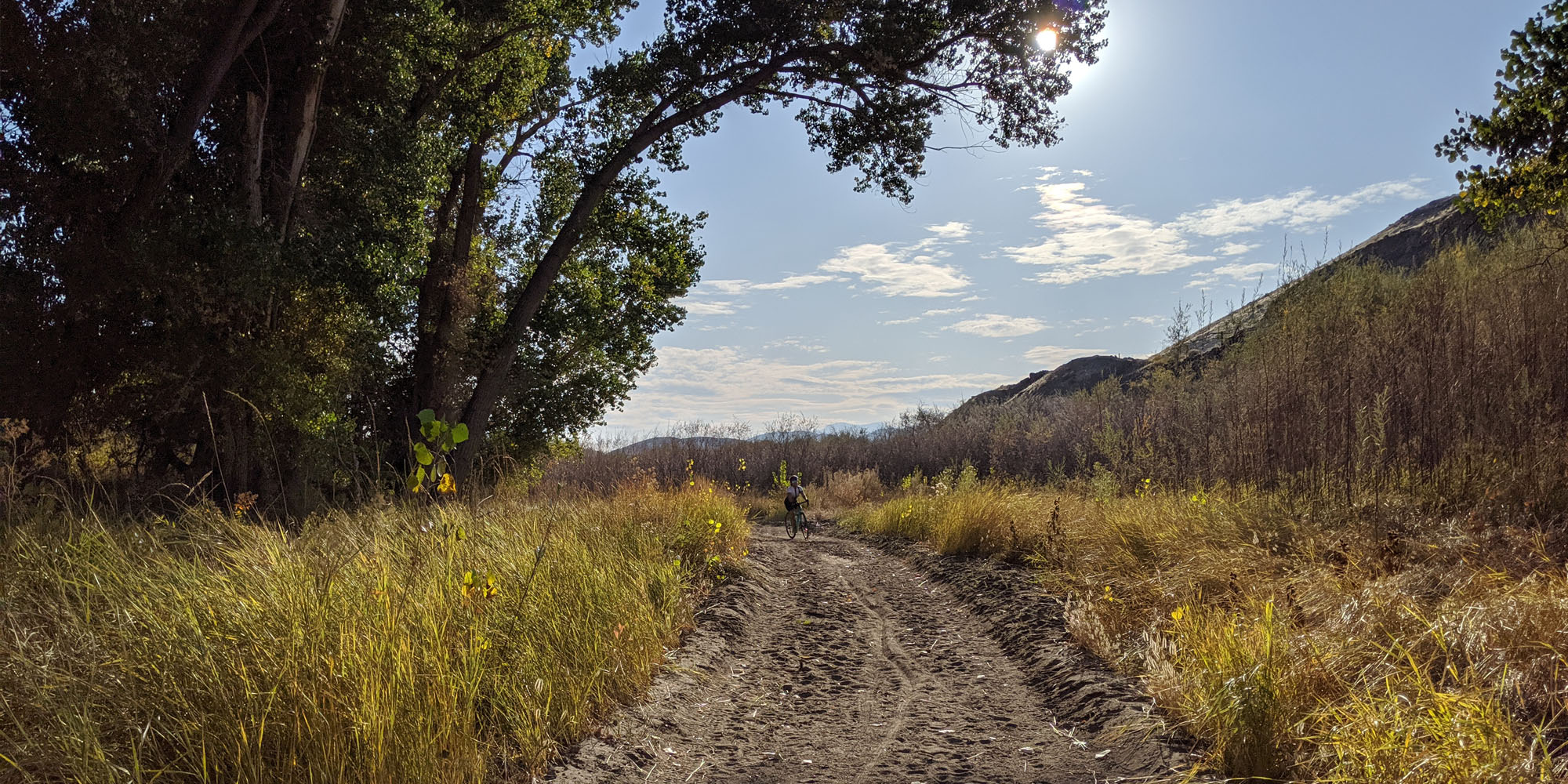
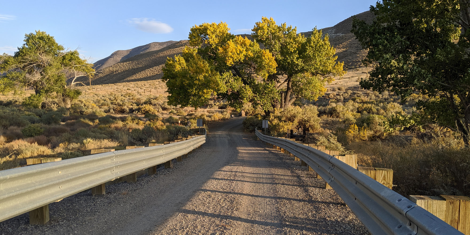
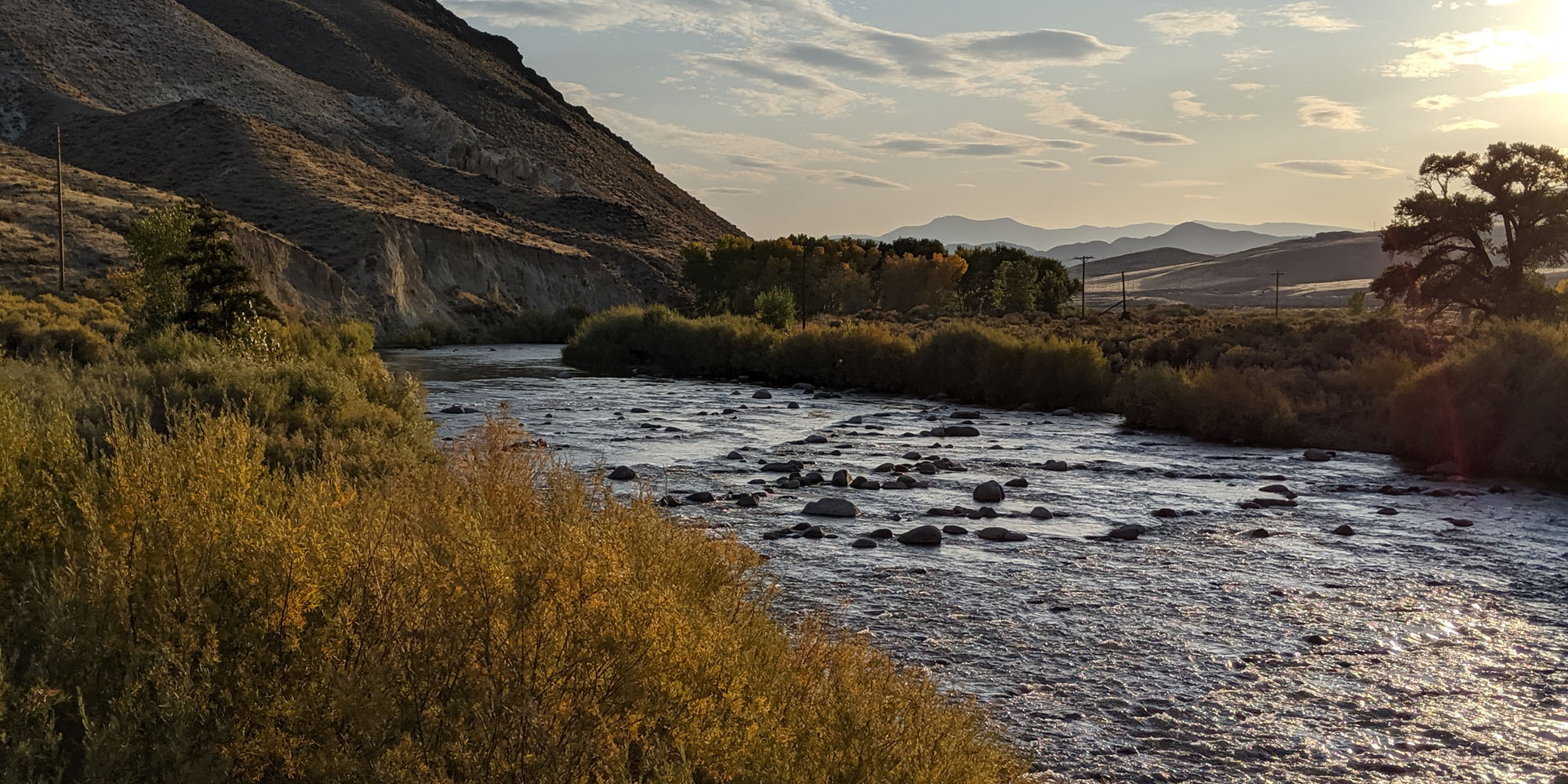
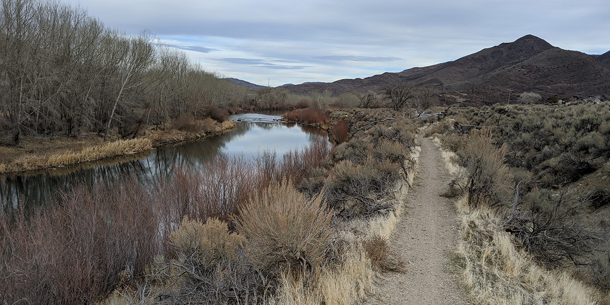
The trail along the river from Mustang to USA Parkway (also called Clark on some maps) has been opened with help from The Nature Conservancy, BLM, NV Energy, and Tahoe Reno Industrial Center. It is 10 miles of mostly flat dirt trail with some short sandy and rocky sections between Mustang and Waltham Way. Portions of the trail are shared with the Nature Conservancy so please read this before riding.
Caution: Wild horses roam in this area. If encountered on the trail, bike riders should slow down and give them a wide berth to avoid spooking them.
Difficulty Level
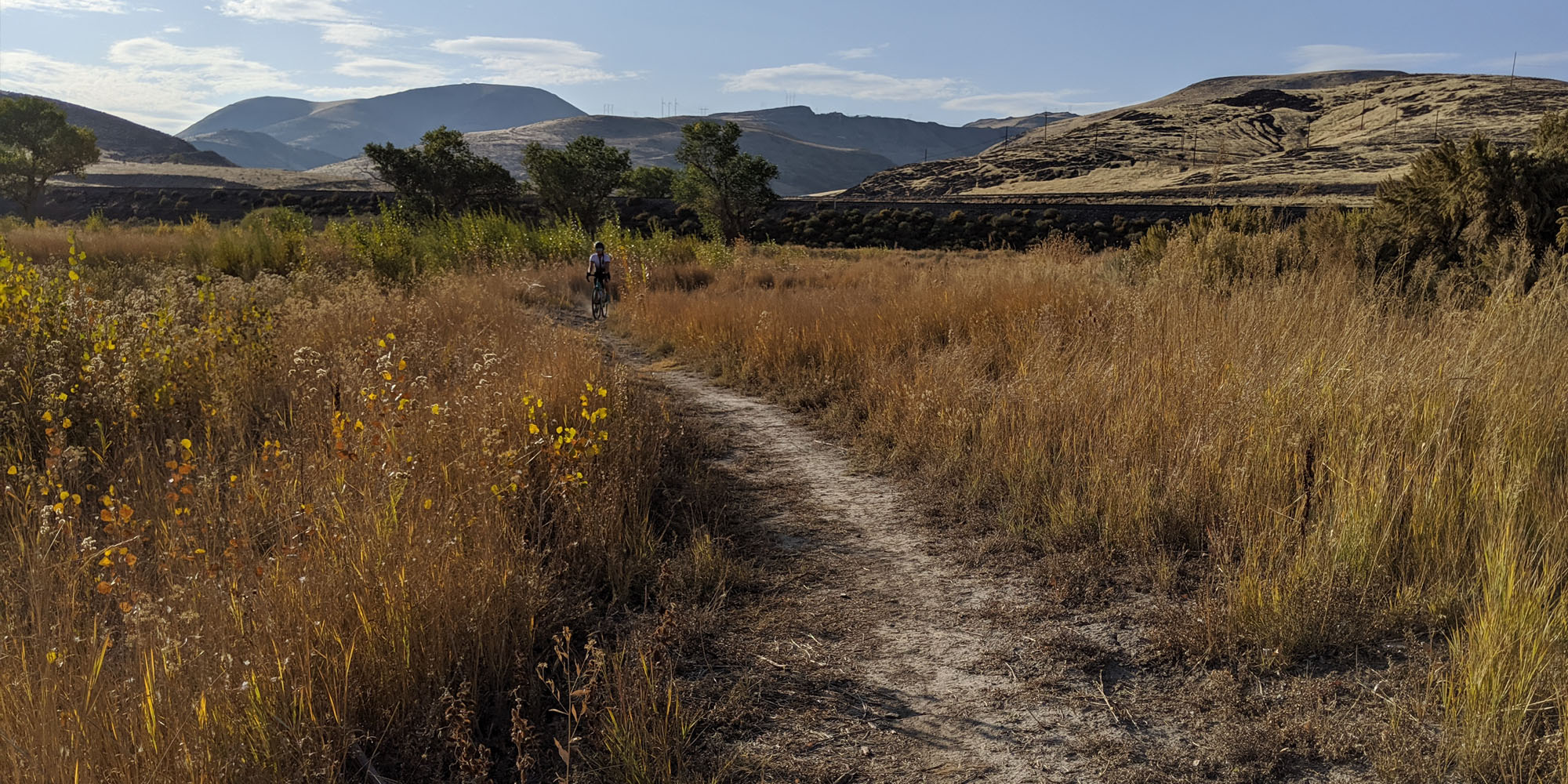
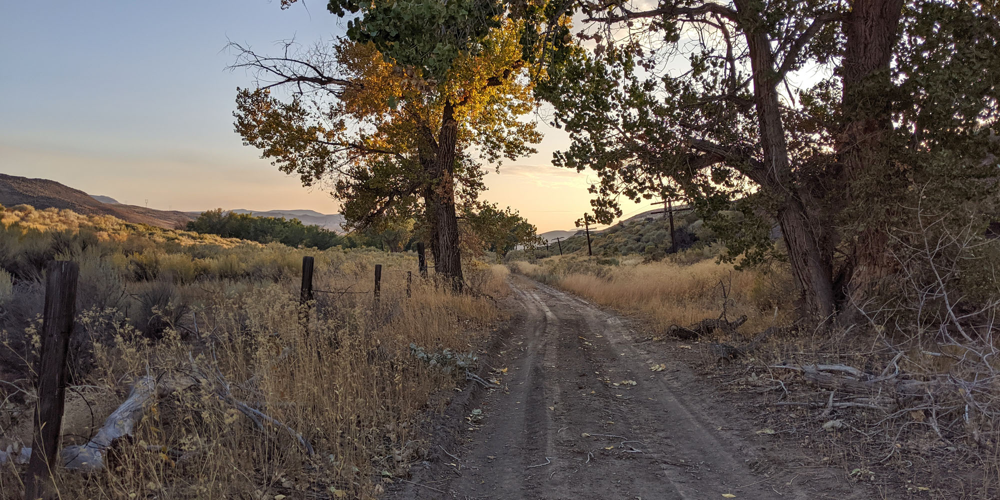
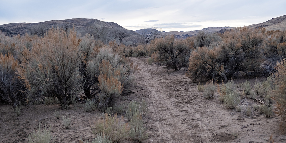
This section of the trail is largely flat but almost entirely dirt/gravel with some short rocky sections (see photos). It is suitable for most riders with appropriate bikes (or shoes) but beginners may want to walk their bikes through some sections. There are some sandy and rocky sections so please look ahead and use care when riding through these areas.
Services
There are very few services in this area. There is no camping or lodging in this area.
Trail Connections
There is currently no connectivity from Vista Blvd. in Sparks to Mustang or from USA Parkway to Wadsworth.
From Tracy Power Plant eastward, there is an optional, slightly hilly, paved loop on the south side of the river, following USA Parkway and Waltham Way.
Another possible ride extension is south on USA Parkway (SR 439) for 18.5 miles and a 1200-foot climb to Hwy 50 and Silver Springs. This is a 4-lane highway with a bike lane on the new extension which was completed in September 2017.
Recommended Bikes
Mountain, Cyclocross, Gravel
Maps
Overview
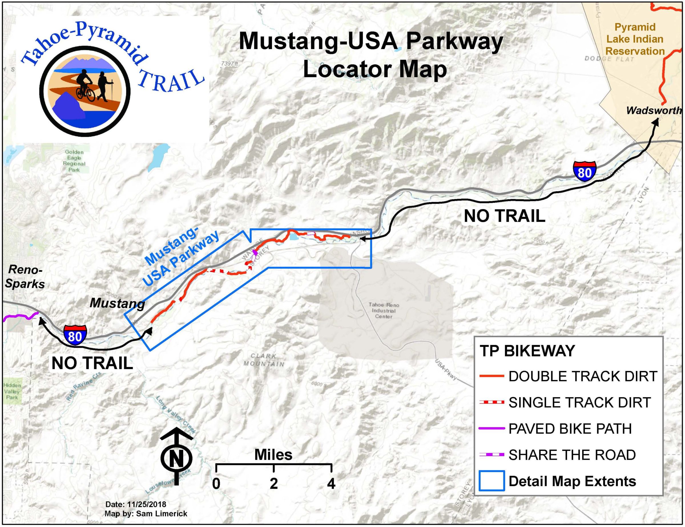
Detail