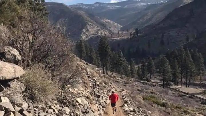
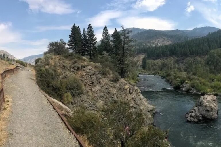
Once fully developed, this trail will extend 114 miles, connecting Lake Tahoe to Pyramid Lake following the Truckee River. Depending on what part of the trail you’re on, you may find a mix of pavement, fire road, and singletrack. The section in downtown Reno is paved, and a popular starting point is Idlewild Park (parking lot and public restrooms). Find the downtown Reno section map here and the full trail map here.
Executive Director Mark Cameron and Board Member Mary Beth Roselli explain the “audacious idea” that is the Tahoe-Pyramid Trail, update the progress of the trail as they strive for its completion, and share their favorite sections for hikers, runners and cyclists.
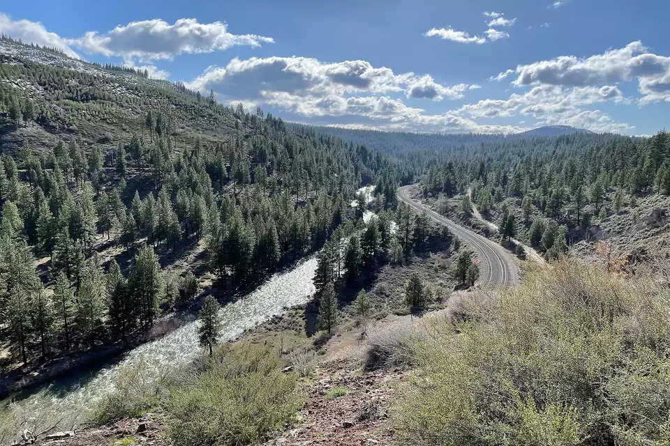
For drivers moving between Reno, Nevada, and Truckee, California, the 32-mile stretch of highway connecting the two towns isn’t exactly picturesque. Sure, the snow-covered mountains in the distance are pretty, but most people probably wouldn’t consider the narrow highway and cement lane dividers much to look at.
But that’s because most people don’t get a chance to peek over the other side of those cement lane dividers.